



10 Questions About El Niño: Why is the alarm growing, and what awaits Turkey?
Translated from Turkish, summarized and contextualized by DistantNews.
At a glance
Explainer
Sources not specified
Context piece
- The US National Oceanic and Atmospheric Administration (NOAA) predicts a high probability of a very strong El Niño event this fall and winter, potentially becoming the strongest since 1950.
- El Niño is a weather phenomenon characterized by rising sea surface temperatures in the equatorial Pacific, occurring every 2 to 7 years and lasting about a year.
- This event, which officially began in June, is expected to peak between November and January and gradually weaken by spring 2027, with potential global impacts on temperatures and extreme weather.
The United States' National Oceanic and Atmospheric Administration (NOAA) has issued a strong warning about an impending El Niño event, predicting a greater than 90% chance of a very strong occurrence this fall and winter. There is also a 69% probability that it could be the most powerful El Niño recorded since 1950.
El Niño, a Spanish term meaning "the little boy," describes a weather pattern where sea surface temperatures in the central and eastern equatorial Pacific rise above normal. This phenomenon typically occurs every two to seven years and lasts for about a year. NOAA monitors the Nino 3.4 region, and El Niño conditions are confirmed when sea surface temperatures in this area remain at least 0.5 degrees Celsius above normal for five consecutive three-month periods.
The current El Niño officially began in June and is expected to reach its peak intensity between November and January. Scientists anticipate a gradual weakening of the conditions by the spring of 2027. What sets this event apart is the significant temperature anomaly already observed; Pacific waters were 2 degrees Celsius warmer than average in July. Projections suggest this anomaly could increase to over 2.5 degrees Celsius during the October-December period, reinforcing the likelihood of it being a record-breaking event.
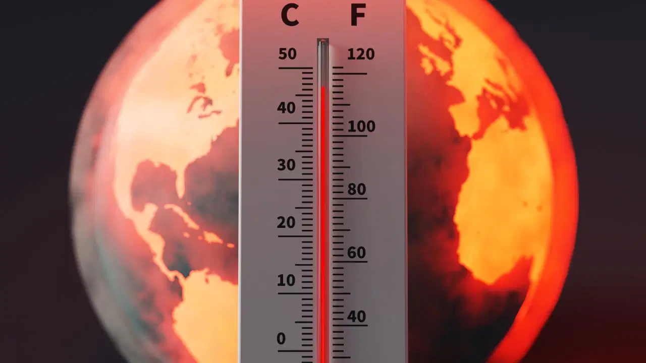
A strong El Niño can elevate global average temperatures by approximately 0.2 degrees Celsius. The vast Pacific Ocean acts as a major source of energy and moisture for the atmosphere. During El Niño, increased evaporation from warmer sea surfaces transfers more heat and water vapor into the atmosphere, leading to rising temperatures in some regions and the formation of intense rainfall and storm systems in others. This shift can alter precipitation patterns, potentially moving areas of heavy rainfall eastward from the Western Pacific and influencing atmospheric pressure and wind systems, including jet streams and large-scale air circulation.
DistantNews Editorial
Originally published by Cumhuriyet in Turkish. Translated, summarized, and contextualized by our editorial team with added local perspective. Read our editorial standards.
More Stories


From Our Blog

What Gets Lost (and Found) When News Is Translated

The Critical Role of Diaspora Media in Global News

What Travellers Should Know About Countries with Restricted Press

A Digital Nomad's Guide to Following Local News

How the Same Story Looks Different in Different Countries
