

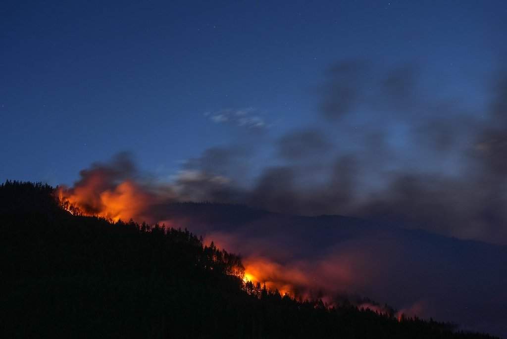
B.C. wildfires 2026: Live map shows fires burning, locations and evacuations
Summarized and contextualized by DistantNews.
At a glance
News
Sources not specified
Ongoing story
- British Columbia's 2026 wildfire season has begun, with officials noting a cooler start.
- An interactive map displays active fires, perimeters, and evacuation orders or alerts.
- The map uses color-coded symbols to indicate fire status (out of control, being held, under control) and evacuation levels.
British Columbia's 2026 wildfire season is underway, following what some officials described as a cooler commencement to the season. Residents can monitor the situation using a live, interactive map that details the locations of active wildfires, their perimeters, and any associated evacuation orders or alerts.
The map employs a system of color-coded triangles and circles to convey critical information. A magenta triangle signifies an evacuation order, while a yellow triangle indicates an evacuation alert. A gray triangle denotes an outdated alert or order. Additionally, a magenta triangle with flames in the center represents a wildfire of note, distinguishing it from an exclamation point symbol.
Circles on the map represent the status of individual fires: magenta circles indicate fires that are out of control, yellow circles denote fires that are being held, and green circles signify fires that are under control. Red outlines highlight wildfire perimeters, often indicating merged clusters of fires that can span thousands of hectares.
This wildfire map is sponsored by BCAA and was designed and developed by William Howell and Max Hartshorn.
DistantNews Editorial
Originally published by Global News. Summarized and contextualized by our editorial team with added local perspective. Read our editorial standards.
More Stories
From Our Blog

What Gets Lost (and Found) When News Is Translated

The Critical Role of Diaspora Media in Global News

What Travellers Should Know About Countries with Restricted Press

A Digital Nomad's Guide to Following Local News

How the Same Story Looks Different in Different Countries
