


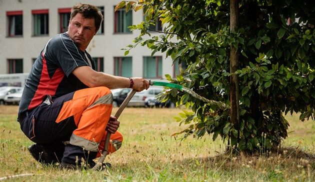
Greenery under satellite surveillance: Ústí to pilot space program, measuring tree stress
Translated from Czech, summarized and contextualized by DistantNews.
At a glance
News
Sources not specified
Context piece
- Ústí nad Labem will use satellite technology to monitor its urban greenery, employing the UpGreen analytical tool.
- This innovative system, originally developed for space missions, will help manage parks and trees more efficiently.
- The goal is to significantly improve vegetation care and planning across the entire municipality.
The city of Ústí nad Labem is embarking on an innovative project to monitor its urban greenery using advanced satellite technology. The initiative will deploy the UpGreen analytical tool, which leverages technologies originally developed for space missions to oversee parks and trees within the city limits.
This cutting-edge system is designed to revolutionize the way the municipality cares for its vegetation. By providing detailed, data-driven insights, UpGreen aims to significantly enhance the efficiency of maintenance and planning for green spaces throughout Ústí nad Labem.
The implementation of this space-age technology underscores the city's commitment to modernizing its urban management practices. The program is expected to lead to better-preserved parks, healthier trees, and more strategic urban planning, ultimately improving the quality of life for residents.
DistantNews Editorial
Originally published by iDNES in Czech. Translated, summarized, and contextualized by our editorial team with added local perspective. Read our editorial standards.
More Stories



From Our Blog

What Gets Lost (and Found) When News Is Translated

The Critical Role of Diaspora Media in Global News

What Travellers Should Know About Countries with Restricted Press

A Digital Nomad's Guide to Following Local News

How the Same Story Looks Different in Different Countries
