
Heat dome over Europe: How hot air becomes a heat dome
Translated from German, summarized and contextualized by DistantNews.
At a glance
Explainer
Sources not specified
Context piece
- A persistent high-pressure system, known as a 'heat dome,' has settled over Europe, intensifying heat.
- This phenomenon occurs when a strong jet stream weakens, allowing a high-pressure area to move north and trap hot air.
- The blocked weather pattern resembles the Greek letter Omega and prevents cooler low-pressure systems from moving in.
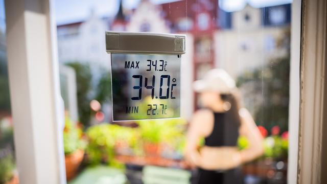
Europe is currently experiencing a 'heat dome,' a persistent high-pressure system that traps hot air and intensifies heatwaves. This meteorological phenomenon occurs when the usual weather pattern over the continent is disrupted.
Normally, Europe's weather is dictated by a regular cycle of low and high-pressure systems moving in from the Atlantic, driven by a strong jet stream at high altitudes. However, when this jet stream weakens, it can allow a high-pressure system to shift northward over Europe. This system then becomes self-reinforcing, effectively acting like a lid or dome.
Hot air from regions like North Africa can be drawn into this high-pressure area, further increasing temperatures. The blocked pattern, often described as resembling the Greek letter Omega, prevents the usual progression of cooler low-pressure systems that would typically bring relief. This stagnation leads to prolonged periods of extreme heat across the continent.
DistantNews Editorial
Originally published by Die Zeit in German. Translated, summarized, and contextualized by our editorial team with added local perspective. Read our editorial standards.
More Stories


From Our Blog

What Gets Lost (and Found) When News Is Translated

How the Same Story Looks Different in Different Countries

The Critical Role of Diaspora Media in Global News

What Travellers Should Know About Countries with Restricted Press

A Digital Nomad's Guide to Following Local News
