
June cooler than recent years, stark contrast to last year's heat
Translated from Korean, summarized and contextualized by DistantNews.
At a glance
News
Named sources
Context piece
- June this year was warmer than the average but cooler than recent years, contrasting sharply with the extreme heat of June last year.
- The cooler weather was attributed to a blocking pattern in the upper atmosphere, preventing the North Pacific High from expanding easily.
- While the monsoon season started later, June saw frequent showers due to atmospheric instability, though overall rainfall was below average.
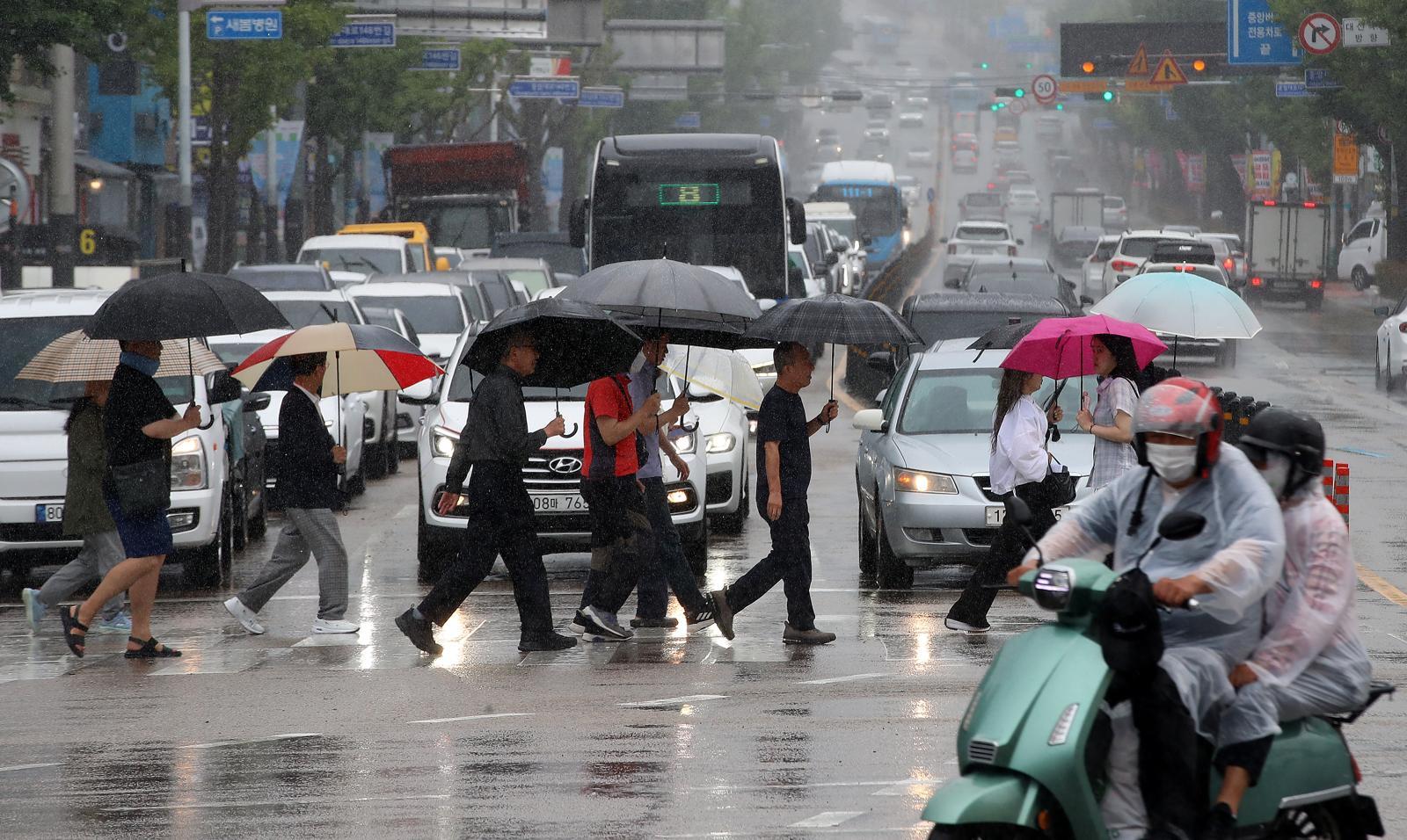
This past June offered a noticeable reprieve from the scorching heatwaves that characterized the same month last year. While still warmer than the long-term average, this year's June temperatures were more moderate compared to the trend of recent years. The average national temperature in June was 22.2 degrees Celsius, ranking as the seventh warmest on record and above the 1991-2020 average of 21.4 degrees Celsius. Notably, the number of "heatwave days" was low, and there were no "tropical nights" (nights where temperatures remain above 25 degrees Celsius) nationwide.
This milder weather pattern is attributed to atmospheric conditions in the upper atmosphere, specifically a "blocking" phenomenon where air masses from polar regions descended into mid-latitudes, disrupting the usual flow. This prevented the North Pacific High, a key driver of hot and humid weather in South Korea during summer, from expanding its influence as readily. In contrast, last year, the North Pacific High expanded early, ushering in summer-like conditions in June and leading to an early monsoon onset on June 19th.
Last year, heatwaves and tropical nights occurred frequently from June, and the monsoon season started early, whereas this June, heatwaves occurred at an average level and the monsoon season was delayed.
Despite the delayed monsoon, which officially began on July 1st in the central region this year, June experienced frequent localized showers. These were caused by atmospheric instability, where cool upper-air masses met warm surface air. The total rainfall for June was 95.4 millimeters, about 65% of the long-term average and less than half of last year's amount. A significant portion of this rainfall occurred on June 19th-20th, primarily along the eastern coast.
Adding to the unusual climate patterns, sea surface temperatures around the Korean Peninsula continue to break records. In June, the average sea surface temperature was 20.9 degrees Celsius, the second highest in the last decade, just slightly cooler than the record set in June 2024. This warming ocean is a significant factor in the region's climate variability. As noted by Lim Mi-sun, head of the Korea Meteorological Administration, "Last year, heatwaves and tropical nights occurred frequently from June, and the monsoon season started early, whereas this June, heatwaves occurred at an average level and the monsoon season was delayed." She highlighted the increasing variability in climate patterns, with each year presenting different characteristics.
Recently, climate variability has been increasing, and climate characteristics are appearing in different patterns each year.
DistantNews Editorial
Originally published by Hankyoreh in Korean. Translated, summarized, and contextualized by our editorial team with added local perspective. Read our editorial standards.
More Stories


From Our Blog

What Gets Lost (and Found) When News Is Translated

The Critical Role of Diaspora Media in Global News

What Travellers Should Know About Countries with Restricted Press

A Digital Nomad's Guide to Following Local News

How the Same Story Looks Different in Different Countries
