
Kathmandu identifies 128 flood-risk locations ahead of monsoon
Translated from English, summarized and contextualized by DistantNews.
At a glance
News
Named sources
New plan
- Kathmandu Metropolitan City has identified 128 locations at high risk of inundation during the upcoming monsoon season.
- An estimated 8,315 families are expected to be affected, with Ward No. 14 facing the highest risk due to its low-lying location near river confluences.
- The city has approved a pre-monsoon preparedness plan and designated 51 parks, 28 open spaces, and 87 schools for emergency use.
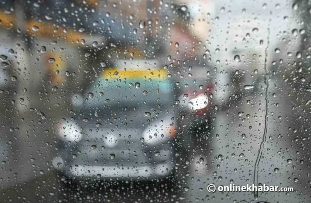
Kathmandu district faces a significant flood risk this monsoon season, with 128 locations identified as vulnerable to inundation. The Kathmandu Metropolitan City (KMC) estimates that approximately 8,315 families could be affected by potential flooding between June 1 and September 30.
Ward No. 14, situated in a low-lying area where the Bagmati and Bishnumati rivers meet, is considered the most at-risk zone. Other vulnerable wards include 13, 15, 29, 10, 16, 26, 32, and 12. Ward 30 has the highest number of flood-prone sites with 21 identified locations, while wards 4 and 32 each have 10 risk areas. Ward 16 is projected to be the most severely impacted, with around 1,600 families potentially affected by flooding along the Samakhushi and Bishnumati streams.
In response, the KMC has adopted a pre-monsoon preparedness and response plan, aligning with forecasts from the Department of Hydrology and Meteorology. The plan includes designating 51 parks, 28 open spaces, and 87 schools as emergency shelters. The KMC cautions that families in wards 26, 3, and 4 may also face adverse effects from flooding.
Ward No. 14, located in the low-lying area near the confluence of the Bagmati and Bishnumati rivers, faces the highest flood risk.
DistantNews Editorial
Originally published by OnlineKhabar English in English. Translated, summarized, and contextualized by our editorial team with added local perspective. Read our editorial standards.
More Stories


From Our Blog

What Gets Lost (and Found) When News Is Translated

The Critical Role of Diaspora Media in Global News

What Travellers Should Know About Countries with Restricted Press

A Digital Nomad's Guide to Following Local News

How the Same Story Looks Different in Different Countries
