
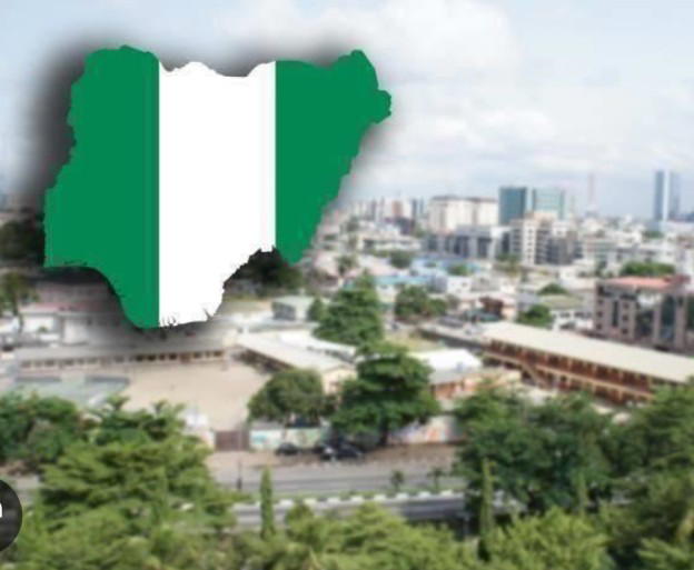
NIPOST plans digital postcodes for every building in Nigeria
Summarized and contextualized by DistantNews.
At a glance
News
Named sources
New plan
- The Nigerian Postal Service (NIPOST) plans to implement a National Digital Postcode System to assign a unique digital address to every building in Nigeria.
- The initiative aims to create a machine-readable standard location-address framework, enhancing service delivery, logistics, and emergency response.
- NIPOST is developing a postcode system that accounts for Nigeria's diverse geography and building density, ensuring boundaries align with administrative structures.
The Nigerian Postal Service (NIPOST) is set to launch a National Digital Postcode System, a comprehensive initiative designed to assign a unique digital address to every addressable building across Nigeria. This project aims to establish a standardized, machine-readable location-address framework nationwide.
Postcode is basically a framework used to have a machine-readable standard location address for every addressable building in Nigeria.
Tola Odeyemi, the Postmaster General and Chief Executive Officer of NIPOST, explained that the digital postcode system will position Nigeria among the leading African nations with a postcode system extending down to the unit level. The system is expected to significantly improve service delivery, streamline logistics operations, enhance emergency response capabilities, and aid in national planning by providing precise location identification.
Odeyemi highlighted that Nigeria's diverse geography, ranging from arid northern regions to tropical southern areas and riverine communities, necessitates tailored approaches to address mapping and postcode allocation. The logic for postcode delineation in a densely populated urban area like Lagos, for instance, will differ from that in a less dense region like Jigawa, considering variations in building density, population distribution, and topography.
Nigeria is a large country. We have all the way from the top of Nigeria, which is almost like the Sahel, to the Savannah, to the Middle Belt, to the tropical South and even to the riverine areas.
The postcode delineation process is carefully designed to ensure that postcode boundaries align with existing administrative structures, such as local government areas, and do not overlap. NIPOST is currently validating its Post Code Delineation Model by comparing aerially mapped polygons with actual settlement patterns and geographical realities on the ground. This validation exercise is a critical step in creating a comprehensive and standardized digital addressing system for the country.
Delineation has to make sure the postcode does not pass administrative boundaries, and it must not go across two local government areas.
DistantNews Editorial
Originally published by The Punch. Summarized and contextualized by our editorial team with added local perspective. Read our editorial standards.
More Stories


From Our Blog

How the Same Story Looks Different in Different Countries

What Gets Lost (and Found) When News Is Translated

The Critical Role of Diaspora Media in Global News

What Travellers Should Know About Countries with Restricted Press

A Digital Nomad's Guide to Following Local News
