


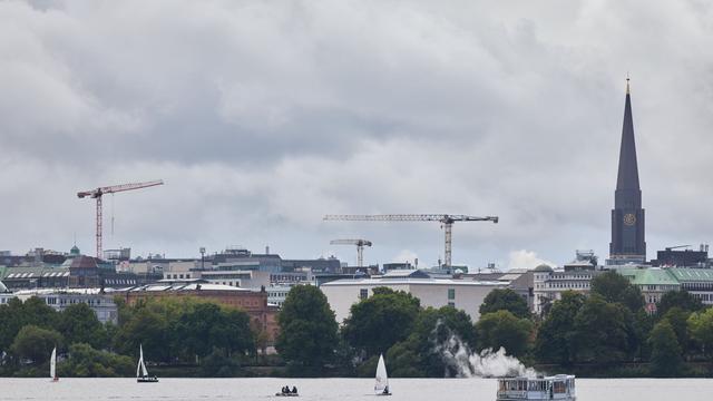
Stormy days ahead in northern Germany as thunderstorms and rain move in
Translated from German and summarized by DistantNews. Read the original for the full story.
At a glance
Newswire
From a news agency
Context piece
- The German Weather Service forecasts showers, thunderstorms and strong to stormy wind gusts across Hamburg and Schleswig-Holstein later this week.
- Wednesday will begin dry in places before conditions deteriorate, while Thursday will remain cloudy with showers and possible thunderstorms.
- Friday will bring persistent rain at first, with temperatures reaching 19 to 22 degrees Celsius.
September is getting off to an unsettled start in Hamburg and Schleswig-Holstein. The German Weather Service expects rain, thunderstorms and strong wind gusts during the second half of the week.
Wednesday will begin partly cloudy and dry, but clouds will build as the day progresses. Local showers and thunderstorms are expected, with temperatures ranging from 20 degrees Celsius near the Danish border to 22 degrees in Hamburg. Rain and possible thunderstorms will become more likely along the North Sea coast overnight, with lows of 17 degrees on Heligoland and 14 degrees inland.
The gloomy weather will continue on Thursday. Showers and occasional thunderstorms are forecast under heavy cloud cover. Temperatures should reach 21 degrees, while winds will remain light to moderate inland and fresh to strong at the coast, with stormy gusts.
Friday will initially offer no relief. Persistent, locally heavy rain is expected before easing into isolated showers during the afternoon. Highs will reach 19 degrees along the coast and 22 degrees inland, with moderate to fresh winds and strong to stormy gusts in many areas.
About this summary
Originally published by Die Zeit in German. Translated, summarized, and contextualized automatically by DistantNews, with a note on how the source frames the story. Not individually reviewed before publishing. How this works.
More Stories


From Our Blog

What Gets Lost (and Found) When News Is Translated

How the Same Story Looks Different in Different Countries

The Critical Role of Diaspora Media in Global News

What Travellers Should Know About Countries with Restricted Press

A Digital Nomad's Guide to Following Local News
