


UN General Assembly backs a more realistic world map
Translated from German and summarized by DistantNews. Read the original for the full story.
At a glance
News
From a news agency
Approved/passed
- The UN General Assembly approved the nonbinding “Correct the Map” resolution by 164 votes to one, with the United States opposing and six countries abstaining.
- The resolution encourages states and international organisations to use the Equal Earth projection, which represents Africa, Latin America, South Asia and Oceania more accurately.
- Supporters say maps shape perceptions of the world, while the United States called the initiative part of a radical ideological project.
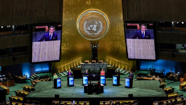
The United Nations General Assembly has voted to encourage a new world map that shows the continents closer to their actual sizes, challenging the Mercator projection commonly used since the 16th century.
The nonbinding “Correct the Map” resolution won support from 164 countries. The United States was the only country to vote against it, while Estonia, Georgia, Lithuania, Serbia, Moldova and Ukraine abstained. The resolution, introduced by Togo and the African Union, calls on governments and international organisations to consider the Equal Earth projection in future maps.
Created in 2018 by a group of geographers, Equal Earth aims to preserve the relative areas of continents more accurately. Africa, Latin America, South Asia and Oceania appear much larger than on conventional world maps, while the United States appears smaller.
The United States rejected the resolution, describing the initiative as part of a radical ideological project. Supporters argue that maps are not neutral because they influence how people understand the planet.
Togolese Foreign Minister Robert Dussey told the General Assembly, “Maps shape our understanding of the world.” He warned that maps can present a distorted image of the planet and reinforce false ideas across generations.
The Mercator map traces back to Gerardus Mercator, a Flemish cartographer born in 1512 who developed it for navigation. Its design enlarges areas at high latitudes. Greenland can appear comparable in size to Africa on some versions, even though Africa’s area is nearly 14 times larger than Greenland’s when measured on a globe.
Maps shape our understanding of the world.
About this summary
Originally published by Die Zeit in German. Translated, summarized, and contextualized automatically by DistantNews, with a note on how the source frames the story. Not individually reviewed before publishing. How this works.
More Stories


From Our Blog

News in Translation: What Gets Lost, and How We Keep the Framing

The Same Story, Different Countries: How Coverage Changes at the Border

Diaspora Media: How Communities Abroad Follow Home

Traveling Where the Press Is Not Free: How to Read the News There

The Digital Nomad's Guide to Local News
