

What Would Happen if Puracé Volcano Erupted? Colombia’s Geological Service Explains the Activity
Translated from Spanish and summarized by DistantNews. Read the original for the full story.
At a glance
News
Named sources
Ongoing story
- Colombia’s Geological Service said recent earthquakes near Puracé Volcano do not currently appear linked to the volcano’s activity or indicate an eruption.
- The earthquakes occurred 11 kilometers northeast of the volcano, near Totoró, at depths of about 8 to 12 kilometers, with some widely felt events.
- Officials continue monitoring Puracé and other volcanoes in the Coconucos volcanic chain as ashfall and changing alert levels concern nearby communities.
Recent earthquakes near Colombia’s Puracé Volcano have worried residents, but the country’s Geological Service says its monitoring data do not currently connect the activity to the volcano or point to an eruption.
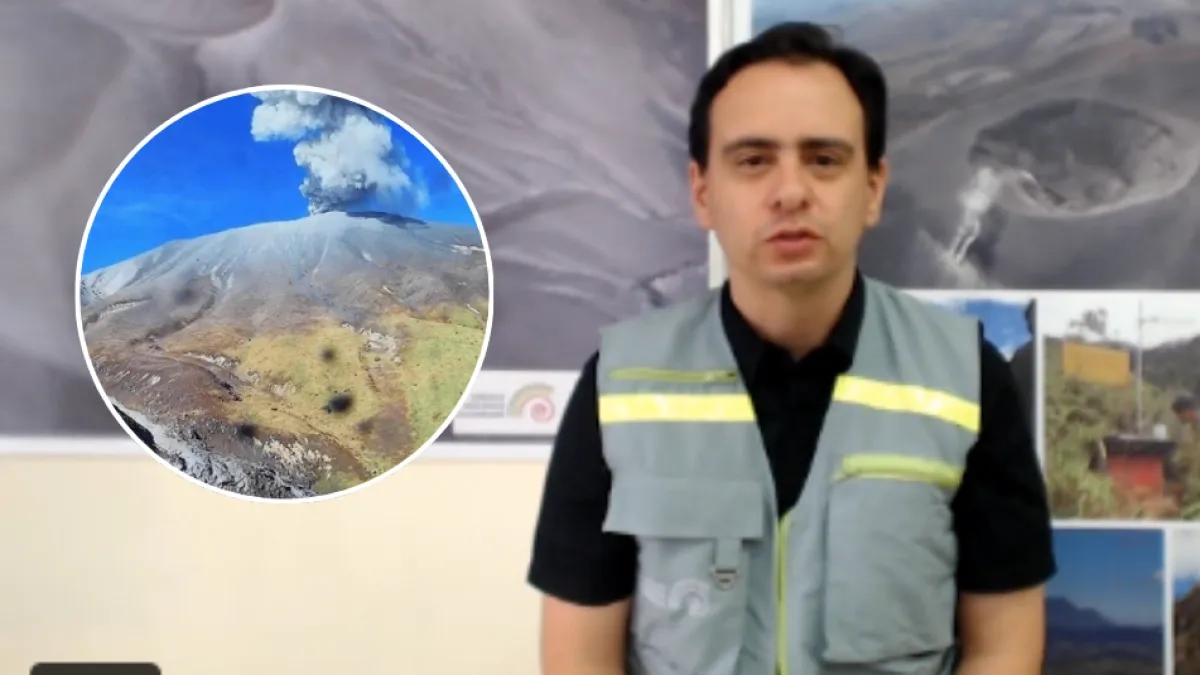
Cristian Santacoloma, coordinator of the Popayán volcanological and seismological observatory, said the earthquakes reflected rock fracturing. The activity occurred about 11 kilometers northeast of Puracé, near the municipality of Totoró, at depths ranging from roughly 8 to 12 kilometers. Some of the stronger events were felt widely.
Community concern has grown as the volcano’s alert level moved from yellow to orange, alongside reports of continuing ashfall and high seismicity in the San Rafael area of Totoró. Santacoloma said the area is seismogenic, meaning it has a tendency to experience repeated earthquakes. Similar events occurred in 2012 and 2016, although the latest activity reached greater magnitudes.
Currently, the data we have from monitoring and the other techniques we use to track the volcano’s behavior do not show a relationship with these events.
“Currently, the data we have from monitoring and the other techniques we use to track the volcano’s behavior do not show a relationship with these events,” Santacoloma told Noticias Caracol.
The Geological Service said it is maintaining close watch over Puracé and the Coconucos volcanic chain, which includes 15 volcanoes. Its monitoring room collects seismic readings and other measurements from equipment installed in the field. These data help officials locate vibrations and assess changes inside volcanic structures, together with measurements of ground deformation. The Nevado del Huila and Sotará volcanoes are also monitored from the facility.
Rock fracturing; this area where the activity occurred is located 11 kilometers from the volcano in a northeasterly direction, near the municipality of Totoró.
About this summary
Originally published by El Tiempo in Spanish. Translated, summarized, and contextualized automatically by DistantNews, with a note on how the source frames the story. Not individually reviewed before publishing. How this works.
More Stories
From Our Blog

What Gets Lost (and Found) When News Is Translated

The Critical Role of Diaspora Media in Global News

What Travellers Should Know About Countries with Restricted Press

A Digital Nomad's Guide to Following Local News

How the Same Story Looks Different in Different Countries
