

Austria braces for heatwave with temperatures hitting 30C, followed by unsettled weather
Translated from German, summarized and contextualized by DistantNews.
At a glance
News
Sources not specified
Context piece
- Summer weather with temperatures reaching 30 degrees Celsius is expected in Austria from Saturday to Tuesday.
- A disturbance zone will cross the country on Sunday, bringing a mix of sun, clouds, and showers.
- Friday will see calming weather with sunny skies in the west and some clouds in the east, with temperatures ranging from 20 to 28 degrees Celsius.
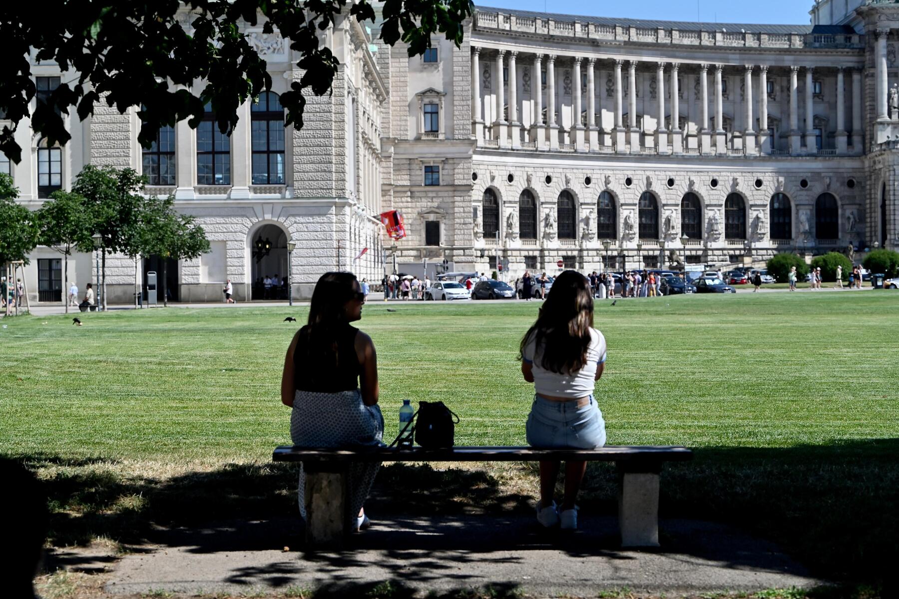
Austria can expect summer weather with temperatures hitting the 30-degree Celsius mark from Saturday through Tuesday. The forecast from Geosphere Austria indicates sunny skies until the weekend, with only scattered thunderstorms expected in the west. However, a disturbance zone moving across the country on Sunday will usher in a week of mixed sun, clouds, and showers.
Friday's weather will calm down as rising air pressure moves in from the west. Vorarlberg and Tirol will enjoy clear, sunny skies from morning. The eastern half of the country will experience more variable conditions, with some clouds developing in the afternoon but a low chance of showers. Winds will be light to moderate, becoming brisk from the northwest in the east. Morning temperatures will range from six to 15 degrees Celsius, with daytime highs between 20 and 28 degrees Celsius, peaking in the sunny west.
Saturday will see the influence of a high-pressure system, bringing regionally sunny days with only thin cirrus clouds. By afternoon, cumulus clouds will form in the south and west, leading to rain showers in Osttirol, Tirol, and Vorarlberg. Vorarlberg faces the highest risk of thunderstorms. The east, however, is expected to remain nearly clear until sunset. Winds will be light to moderate from various directions. Morning temperatures will be between six and 15 degrees Celsius, with daytime highs reaching 25 to 31 degrees Celsius.
Sunday will bring a disturbance zone that crosses the country from west to east. Clouds will move through, bringing potentially heavy showers and isolated thunderstorms. The north and northeast may remain dry. Sun will break through the clouds intermittently. Winds will be light to moderate from various directions. Morning temperatures will be 11 to 19 degrees Celsius, with daytime highs climbing to 23 to 31 degrees Celsius, highest in the east.
The start of the new work week will feature a mix of sun and clouds with rain showers, particularly along the northern side of the Alps, where thunderstorms are also possible. The south is expected to remain mostly dry and sunny. West to northwest winds will blow briskly, especially in the north and east, and strongly at higher elevations. Otherwise, winds will be moderate to brisk. Morning temperatures will be 12 to 20 degrees Celsius, with daytime highs ranging from 22 to 29 degrees Celsius.
DistantNews Editorial
Originally published by Die Presse in German. Translated, summarized, and contextualized by our editorial team with added local perspective. Read our editorial standards.
More Stories


From Our Blog

What Gets Lost (and Found) When News Is Translated

The Critical Role of Diaspora Media in Global News

What Travellers Should Know About Countries with Restricted Press

A Digital Nomad's Guide to Following Local News

How the Same Story Looks Different in Different Countries
