

Bolivia Directs Space Agency to Monitor Forest Fires via Satellite
Translated from Spanish, summarized and contextualized by DistantNews.
At a glance
News
Official statement
Ongoing story
- Bolivia's Minister of Public Works has instructed the Bolivian Space Agency (ABE) to monitor forest fires using satellite imagery.
- The ABE will identify fire extent, progression, access routes, water sources, and at-risk infrastructure.
- This initiative aims to help emergency responders plan operations more effectively amidst active fires in Tarija and Santa Cruz.
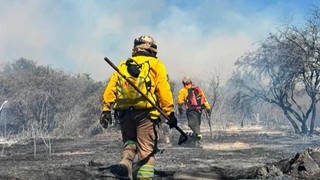
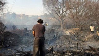
Bolivia's Minister of Public Works, Mauricio Zamora, has directed the Bolivian Space Agency (ABE) to utilize satellite technology for monitoring ongoing forest fires and heat sources across the country. This directive is part of the government's proactive measures to anticipate emergencies and prevent environmental disasters.
The ABE's satellite monitoring will provide crucial data, including the scale and spread of fires, accessible routes for firefighters, proximity to water sources, and the potential risk to homes and infrastructure. This information is vital for enabling a swift and efficient response from firefighters and emergency teams.
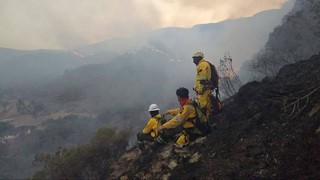
Currently, Bolivia is grappling with at least two significant active fires. One blaze is located in the municipality of San Lorenzo in the Tarija department, while another is burning in the Otuquis National Park and Integrated Management Natural Area, near Puerto Suárez in the Santa Cruz department. The enhanced monitoring aims to support authorities in planning and executing their operations more effectively to combat these threats.
DistantNews Editorial
Originally published by El Deber in Spanish. Translated, summarized, and contextualized by our editorial team with added local perspective. Read our editorial standards.
More Stories
From Our Blog

What Gets Lost (and Found) When News Is Translated

The Critical Role of Diaspora Media in Global News

What Travellers Should Know About Countries with Restricted Press

A Digital Nomad's Guide to Following Local News

How the Same Story Looks Different in Different Countries
