


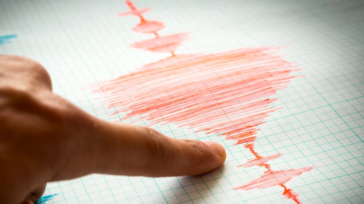
Colombia registers two earthquakes on August 7; magnitudes and locations detailed
Translated from Spanish, summarized and contextualized by DistantNews.
At a glance
News
Named sources
Outcome reported
- Two earthquakes were registered in Colombia on Friday, August 7.
- The first, a magnitude 4.8 tremor, occurred near Tufiño on the Ecuador-Colombia border.
- A second, smaller magnitude 3.0 earthquake was recorded in Guachetá, Cundinamarca.
Colombia experienced seismic activity on Friday, August 7, with two earthquakes registered in different parts of the country. The first tremor occurred around midday, measuring a magnitude of 4.8.
This initial earthquake's epicenter was located near Tufiño, a town on the border with Ecuador in the Carchi province. Its superficial depth meant it was felt with intensity in several municipalities within Colombia's Nariño department. The Colombian Geological Service reported the coordinates of this event as 0.83° latitude and -77.84° longitude, placing it 4 kilometers from Tufiño, 10 kilometers from Cumbal (Nariño), and 13 kilometers from Cuaspud Carlosama (Nariño).
Fortunately, no injuries or significant infrastructure damage have been reported as a result of this first earthquake. The event was manually reviewed by the Volcanological and Seismological Observatory of Pasto (OVSP).
Later in the afternoon, around 2 p.m., a second earthquake was recorded in the department of Cundinamarca. This tremor registered a magnitude of 3.0 and its epicenter was identified in Guachetá, with a depth of 144 kilometers. While smaller, this event also contributed to the day's seismic activity in Colombia.
DistantNews Editorial
Originally published by El Tiempo in Spanish. Translated, summarized, and contextualized by our editorial team with added local perspective. Read our editorial standards.
More Stories
From Our Blog

What Gets Lost (and Found) When News Is Translated

The Critical Role of Diaspora Media in Global News

What Travellers Should Know About Countries with Restricted Press

A Digital Nomad's Guide to Following Local News

How the Same Story Looks Different in Different Countries
