

Earthquake in Ucayali: Magnitude 4.6 tremor shakes Pucallpa, according to IGP
Translated from Spanish, summarized and contextualized by DistantNews.
At a glance
News
Official statement
Ongoing story
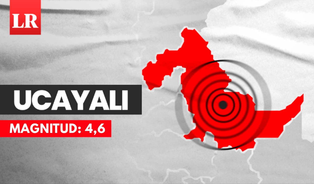
- An earthquake with a magnitude of 4.6 struck Ucayali, Peru, on Monday afternoon.
- The epicenter was located 50 kilometers southwest of Pucallpa at a depth of 144 kilometers, according to the IGP.
- Authorities advise residents to remain calm and prepare emergency kits.
A moderate earthquake measuring 4.6 on the Richter scale shook the Ucayali region of Peru on Monday afternoon. The tremor occurred at 5:36 p.m. local time, with its epicenter situated approximately 50 kilometers southwest of Pucallpa, the capital city of the Coronel Portillo province.
The Institute Geofísico del Perú (IGP) reported that the earthquake's depth was 144 kilometers. The seismic event's coordinates were recorded at a latitude of -8.76 and a longitude of -74.77. While the earthquake was felt in Pucallpa, no immediate reports of significant damage or injuries have been released.
In response to the seismic activity, regional authorities, including those from the National Civil Defense Institute (Indeci), urged residents to remain calm. They emphasized the importance of identifying safe zones both inside and outside their homes to minimize potential harm during future tremors.
Indeci also reminded the public about the necessity of having an emergency backpack prepared. Such kits should contain essential items for the initial days following a disaster, including hygiene products, a first-aid kit, non-perishable food, water, a battery-powered radio, a flashlight, and copies of important documents. Specific provisions for infants, the elderly, and individuals with special needs are also recommended.
DistantNews Editorial
Originally published by La República in Spanish. Translated, summarized, and contextualized by our editorial team with added local perspective. Read our editorial standards.
More Stories
From Our Blog

What Gets Lost (and Found) When News Is Translated

The Critical Role of Diaspora Media in Global News

What Travellers Should Know About Countries with Restricted Press

A Digital Nomad's Guide to Following Local News

How the Same Story Looks Different in Different Countries
