
"It's late to prepare": Meteorologist warns of upcoming "Super Niño"
Translated from Spanish, summarized and contextualized by DistantNews.
At a glance
News
Named sources
Context piece
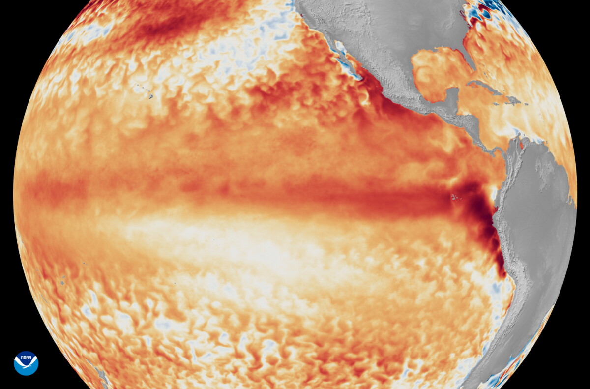
- Uruguay is bracing for a potentially powerful "Super Niño" phenomenon, predicted to arrive by spring and intensify through late 2026 and early 2027.
- Meteorologists warn that while it's too early to panic, it's late to prepare for the anomalous weather patterns expected.
- Current forecasts show little significant rain in July, with only scattered showers possible, despite the warming Pacific waters contributing to the phenomenon.
Uruguay faces the prospect of a powerful "Super Niño" phenomenon, with meteorologists issuing a stark warning: "It's too early to get nervous, but too late to prepare." While the full impact is not expected until spring, the warming of tropical Pacific waters, exceeding previous El Niño phases, signals potentially anomalous and severe weather.
It's early to get nervous, but late to prepare.
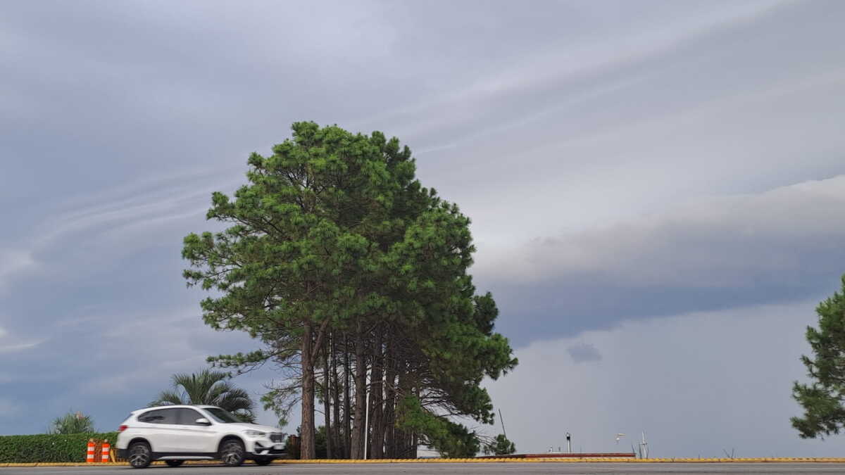
Meteorologist Mario Bidegain noted that July offers little relief, with only scattered, light showers anticipated mid-week and possibly on Sunday. This dry spell follows a very dry late autumn and early winter. The phenomenon, characterized by significantly warmer ocean temperatures, is projected to peak in October, November, and December, though its effects might begin earlier and extend longer.
if well the high organisms of meteorology at international level are warning of the arrival of this Niño of anomalous conditions, he sticks to one sentence.
The term "Superniño" is being used as some meteorological models predict ocean temperature increases of 3°C to 3.5°C above normal, surpassing the intensity of a "strong Niño." This heightened warming is compounded by sustained global warming driven by human activity, further elevating ocean temperatures.
tropical Pacific waters are between half a degree and one degree above normal.
Despite the international warnings from meteorological bodies, local experts emphasize the immediate dry conditions. The focus remains on the long-term implications of the "Super Niño," which could bring more intense and frequent rainfall than typical El Niño events, posing challenges for preparation and adaptation.
a moderate one is between one degree and one and a half degrees. A strong one is between one and a half and two degrees.
DistantNews Editorial
Originally published by El País in Spanish. Translated, summarized, and contextualized by our editorial team with added local perspective. Read our editorial standards.
More Stories


From Our Blog

What Gets Lost (and Found) When News Is Translated

The Critical Role of Diaspora Media in Global News

What Travellers Should Know About Countries with Restricted Press

A Digital Nomad's Guide to Following Local News

How the Same Story Looks Different in Different Countries
