


Over 65,000 acres burned in Boeotia and Porto Germeno wildfires, satellite data shows
Translated from Greek, summarized and contextualized by DistantNews.
At a glance
News
Documents & data
Ongoing story
- Over 65,000 acres have been destroyed by wildfires in Boeotia and Porto Germeno, Attica, according to initial satellite estimates.
- High-resolution satellite data from August 1, 2026, analyzed by meteo.gr, revealed the extent of the damage.
- The analysis indicated approximately 30,900 acres burned in Boeotia and 35,700 acres in Porto Germeno, with the latter fire still active.
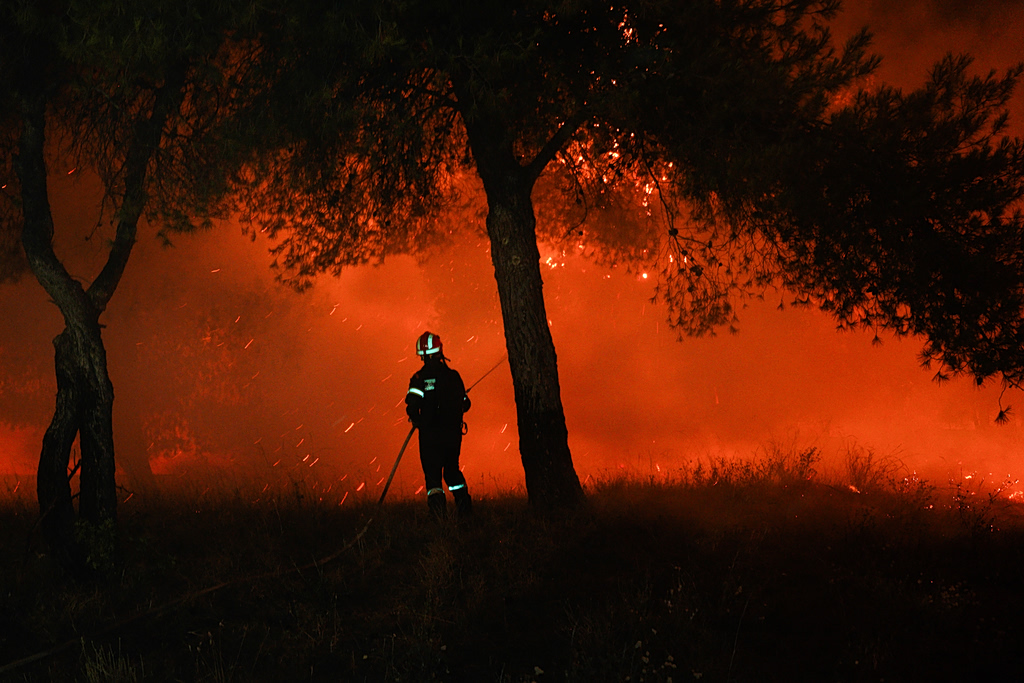
Wildfires have ravaged over 65,000 acres in the regions of Boeotia and Porto Germeno, Attica, based on preliminary assessments from meteo.gr and the National Observatory of Athens. Initial analysis of high-resolution satellite imagery captured on Saturday, August 1, 2026, shows the significant scale of destruction caused by the two major forest fires.
The data, processed by the meteo.gr team using SPOT-6/7 satellite imagery, indicates that the fire in Boeotia consumed approximately 30,900 acres. Meanwhile, the fire in Porto Germeno, located in Attica, burned an estimated 35,700 acres and was reportedly still active at the time of the report.
These figures are derived from satellite data analyzed in conjunction with the European Copernicus EMS mechanism. The National Observatory of Athens and meteo.gr continue to monitor the fires closely, utilizing satellite data and fire weather forecasting models to track their progression and potential impact.
DistantNews Editorial
Originally published by Ta Nea in Greek. Translated, summarized, and contextualized by our editorial team with added local perspective. Read our editorial standards.
More Stories


From Our Blog

What Gets Lost (and Found) When News Is Translated

The Critical Role of Diaspora Media in Global News

What Travellers Should Know About Countries with Restricted Press

A Digital Nomad's Guide to Following Local News

How the Same Story Looks Different in Different Countries
