Rivers and Seas to Shape Ho Chi Minh City's Future Development
Translated from Vietnamese, summarized and contextualized by DistantNews.
At a glance
News
Named sources
New plan
- Ho Chi Minh City's 100-year development plan prioritizes leveraging its extensive river and coastal resources, moving beyond traditional land-based growth.
- The new strategy views waterways as a core "natural infrastructure," shaping urban development, economic centers, and logistics hubs.
- This shift aims to foster sustainable development, adapting to climate change and rising sea levels by integrating with natural systems rather than resisting them.
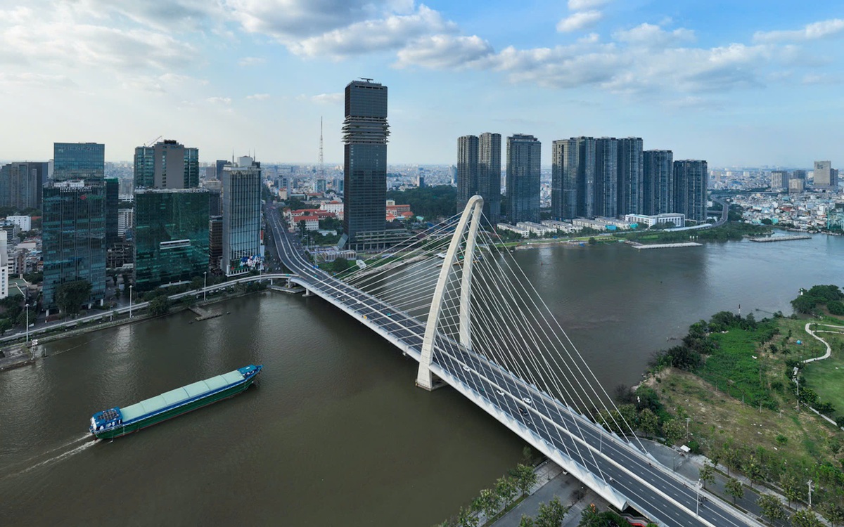
Ho Chi Minh City is charting a new course for its future, envisioning a 100-year development plan that hinges on its vast river and coastal advantages. Phan Van Mai, a member of the Party Central Committee and Chairman of the National Assembly's Economic and Financial Committee, highlighted this strategic pivot, emphasizing a departure from past urban planning that relied primarily on land and conventional transport infrastructure.
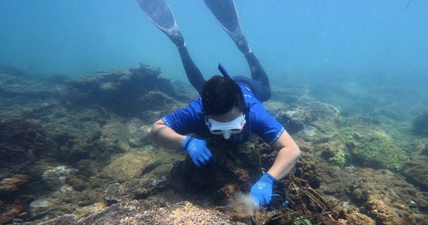
The core of this new vision redefines the city's waterways, the Saigon, Dong Nai, and Nha Be rivers, along with the Soai Rap estuary and a network of canals, as a fundamental "natural infrastructure." This perspective moves beyond viewing them merely as scenic or transportation assets, recognizing them as a strategic resource that defines Ho Chi Minh City's unique identity. The plan aims to fully exploit these aquatic resources, which have been underutilized for decades.
Rivers and seas are the 'soul' of the plan.
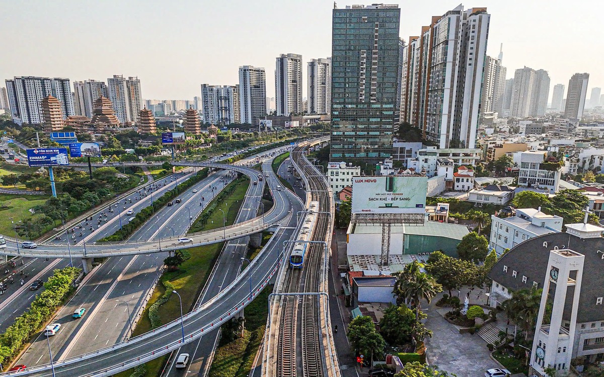
This reorientation necessitates a restructuring of the city's spatial development. Future economic engines, growth poles, and economic corridors will be defined by riverine and coastal access, not just by traditional road networks. The city's "frontages" will increasingly be its rivers and coastline, fostering the development of riverside and coastal urban models, port-logistics service centers, and new economic zones that capitalize on these natural advantages.
Furthermore, this approach is crucial for addressing the escalating challenges of climate change, rising sea levels, and land subsidence. Instead of solely focusing on mitigation, the plan advocates for adaptation and integration, transforming the river system into an integral part of the city's long-term sustainable development strategy. This signifies a move towards working with natural forces rather than against them.
Rather than fighting nature, the plan needs to utilize and adapt to nature, turning the river system into part of the long-term development solution.
DistantNews Editorial
Originally published by Tuổi Trẻ in Vietnamese. Translated, summarized, and contextualized by our editorial team with added local perspective. Read our editorial standards.
More Stories
From Our Blog

What Gets Lost (and Found) When News Is Translated

The Critical Role of Diaspora Media in Global News

What Travellers Should Know About Countries with Restricted Press

A Digital Nomad's Guide to Following Local News

How the Same Story Looks Different in Different Countries
