

Tropical Storm Dolly’s remnants could bring 75 millimeters of rain to northern Dominican Republic
Translated from Spanish and summarized by DistantNews. Read the original for the full story.
At a glance
News
Named sources
Ongoing story
- Rain is expected to continue through Tuesday as Dolly’s remnants combine with a tropical wave moving west.
- Northern and northeastern areas could see locally moderate to heavy rain, thunderstorms and occasional wind gusts.
- The weather service has issued alerts for flooding and landslides in several provinces and advised caution at sea along the Caribbean coast.
The remnants of Tropical Storm Dolly could bring up to 75 millimeters of rain to the Dominican Republic’s northern and northeastern regions, according to meteorologist Henry Agramonte.
Agramonte said rain would continue through Tuesday as Dolly interacts with a tropical wave moving west. The heaviest accumulations are expected in the north and northeast, where locally moderate to heavy showers may come with thunderstorms and occasional wind gusts.
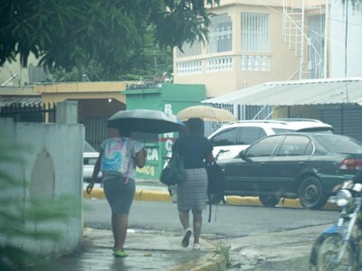
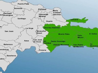
Rain had already affected La Altagracia, San Pedro de Macorís, La Romana, Greater Santo Domingo and San Cristóbal by early Monday. The Dominican Institute of Meteorology, Indomet, has placed several provinces under weather alerts because of possible rises in rivers, streams and drainage channels, as well as landslides.
The alerts include La Altagracia, El Seibo, La Romana, Hato Mayor, San Pedro de Macorís and Greater Santo Domingo. Showers, thunderstorms and wind gusts are also expected in Santiago Rodríguez, Dajabón, Elías Piña and San Juan, among other provinces.
Agramonte advised caution for vessels in the Caribbean because of winds and unusually high waves, urging boats to avoid venturing far offshore.
About this summary
Originally published by Diario Libre in Spanish. Translated, summarized, and contextualized automatically by DistantNews, with a note on how the source frames the story. Not individually reviewed before publishing. How this works.
More Stories
From Our Blog

What Gets Lost (and Found) When News Is Translated

The Critical Role of Diaspora Media in Global News

What Travellers Should Know About Countries with Restricted Press

A Digital Nomad's Guide to Following Local News

How the Same Story Looks Different in Different Countries
