

UAE harnesses space technologies to support global disaster response
Summarized and contextualized by DistantNews.
At a glance
News
Sources not specified
Context piece
- The UAE is leveraging space technologies to enhance global disaster response capabilities.
- By utilizing satellite imagery and geospatial data, the UAE supports timely information for assessing damage and directing relief efforts.
- The UAE recently led the International Charter: Space and Major Disasters, coordinating international efforts to aid countries affected by natural disasters.
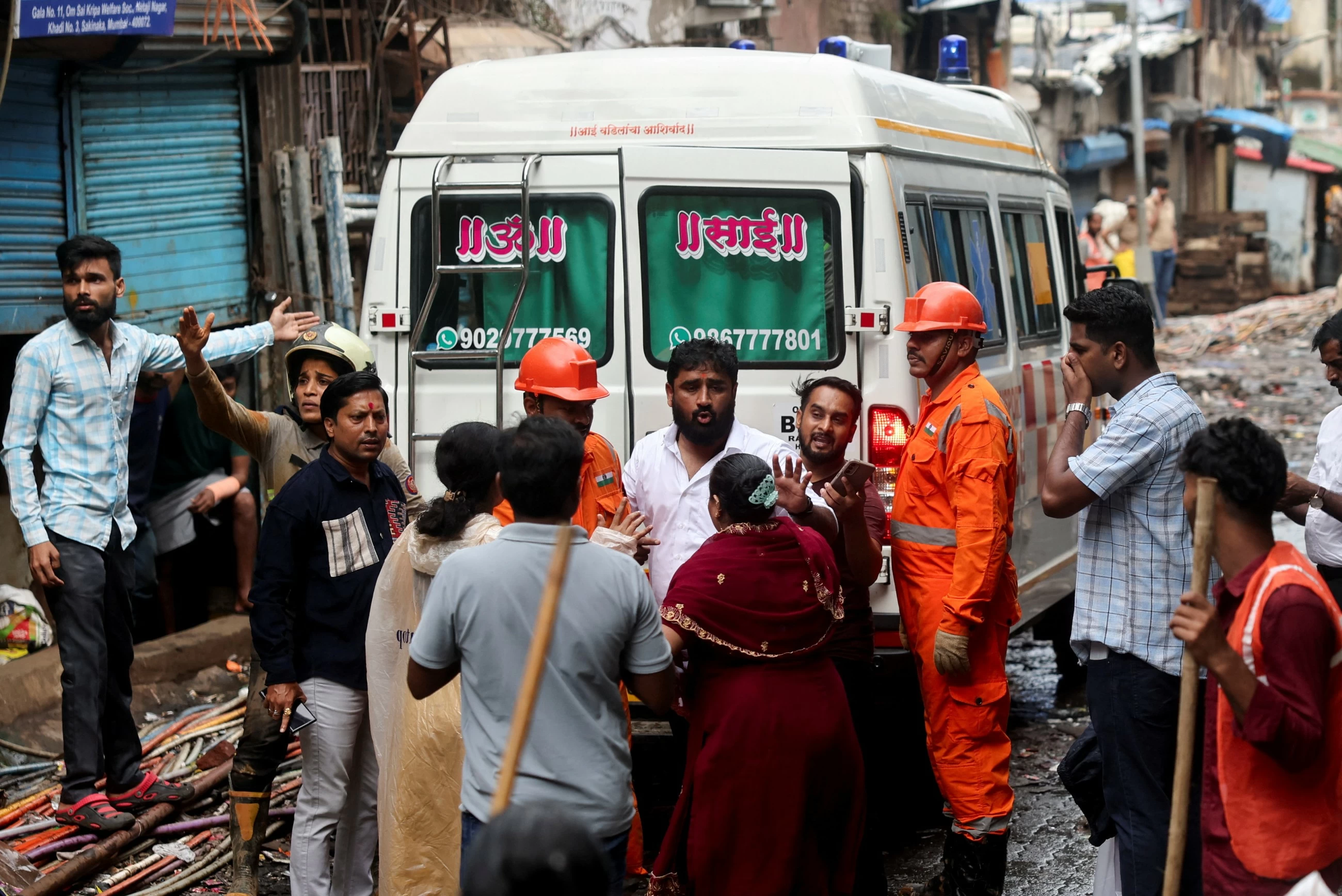
The United Arab Emirates is actively employing space technologies to bolster international disaster response, a critical need highlighted by recent earthquakes in Egypt and Colombia. These natural disasters underscore the importance of technologies that deliver accurate and timely information, enabling emergency teams to assess damage and efficiently direct relief operations.
Space science and technology are proving to be vital tools in supporting humanitarian efforts and accelerating crisis response. The UAE's commitment is evident through its active participation in initiatives like the International Charter: Space and Major Disasters. By harnessing satellite imagery, geospatial data, data analytics, and artificial intelligence, the UAE contributes to damage assessment, monitoring of affected areas, and providing crucial information for relief operations.
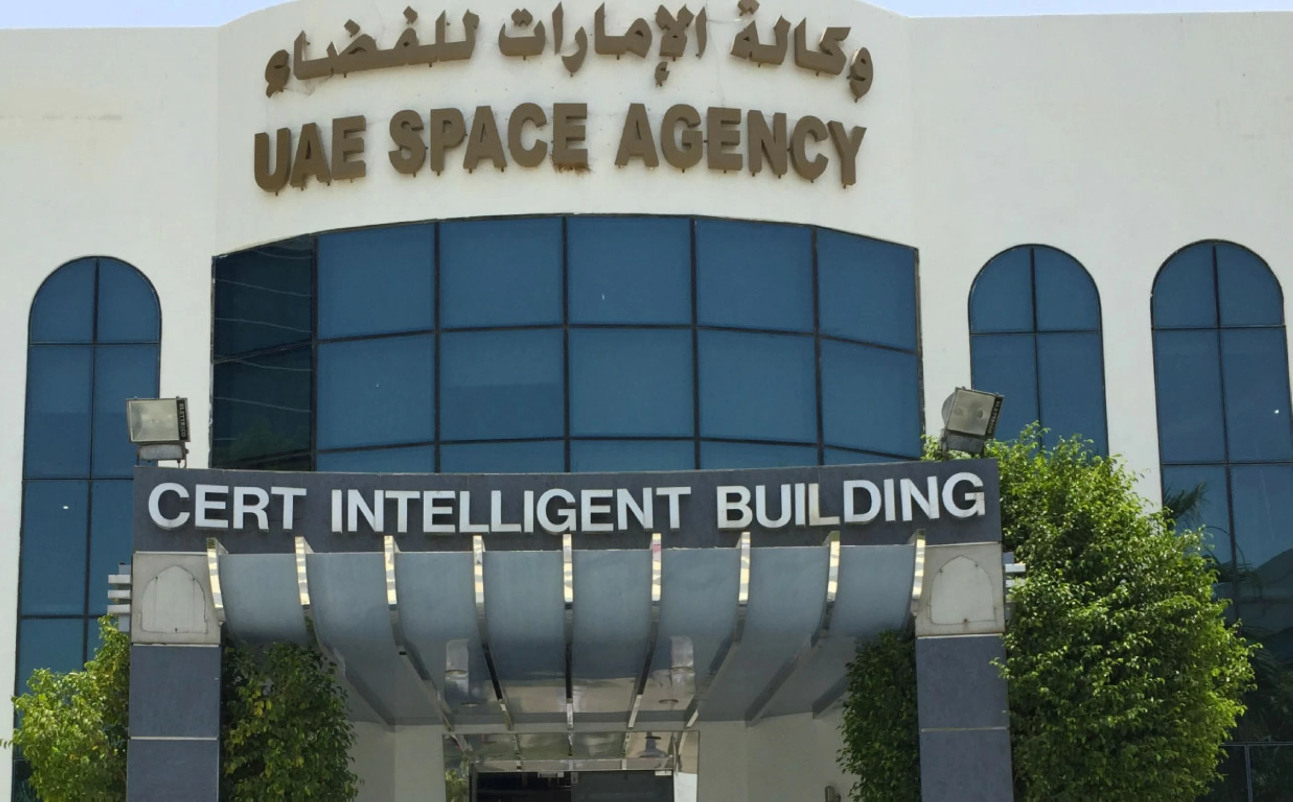
From April to October 2026, the UAE, through the UAE Space Agency, assumed leadership of the International Charter: Space and Major Disasters. During its presidency, it guided an international system that utilized satellite imagery and geospatial data to assist nations impacted by natural disasters. These actions aimed to improve response times, enhance decision-making accuracy, and ultimately protect lives and property.
The International Charter is a leading global initiative for disaster management, comprising 17 member organizations. It provides free and timely satellite imagery and data to authorized agencies worldwide, supporting damage assessment and the coordination of humanitarian aid. The UAE's integrated national model, combining advanced space capabilities with expertise in emergency management and geospatial data analysis, further amplified the efficiency of international disaster response during its leadership period. This period saw numerous Charter activations supporting countries facing floods, earthquakes, wildfires, volcanic eruptions, and cyclones.
DistantNews Editorial
Originally published by Gulf Today. Summarized and contextualized by our editorial team with added local perspective. Read our editorial standards.
More Stories
From Our Blog

What Gets Lost (and Found) When News Is Translated

The Critical Role of Diaspora Media in Global News

What Travellers Should Know About Countries with Restricted Press

A Digital Nomad's Guide to Following Local News

How the Same Story Looks Different in Different Countries
