

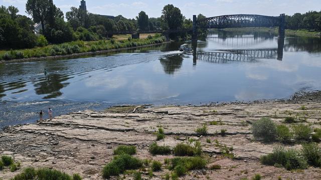

Wildfires in Germany and Europe: Live graphics show where fires are burning
Translated from German, summarized and contextualized by DistantNews.
At a glance
News
Documents & data
Ongoing story
- Germany and Europe are experiencing an unusual wildfire season, with ongoing fires across the continent.
- Live graphics provide an overview of current fire locations and the total area affected by flames.
- The data is continuously updated to reflect the evolving wildfire situation.
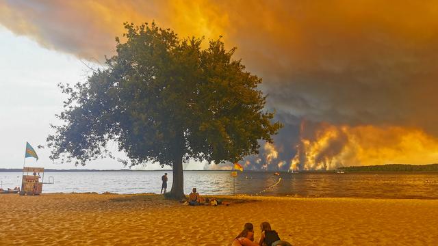
Germany and Europe are grappling with an exceptionally severe wildfire season, prompting continuous monitoring of blazes across the continent. The current situation has raised concerns about the intensity and scale of the fires, with authorities working to track their spread and impact.
Interactive graphics offer a real-time overview of where fires are currently burning and the cumulative extent of land consumed by the flames. These visual tools are crucial for understanding the geographic distribution of the crisis and the total acreage lost. The data presented is subject to constant updates, reflecting the dynamic and often unpredictable nature of wildfire events.
As the season progresses, the focus remains on the frequency and severity of these fires compared to historical norms. The continuously updated maps and statistics aim to provide a clear picture of the ongoing challenges, aiding in resource allocation and public awareness efforts. The situation underscores the growing threat of wildfires in the region, potentially linked to climate change and other environmental factors.
DistantNews Editorial
Originally published by Der Spiegel in German. Translated, summarized, and contextualized by our editorial team with added local perspective. Read our editorial standards.
More Stories

From Our Blog

What Gets Lost (and Found) When News Is Translated

How the Same Story Looks Different in Different Countries

The Critical Role of Diaspora Media in Global News

What Travellers Should Know About Countries with Restricted Press

A Digital Nomad's Guide to Following Local News
