


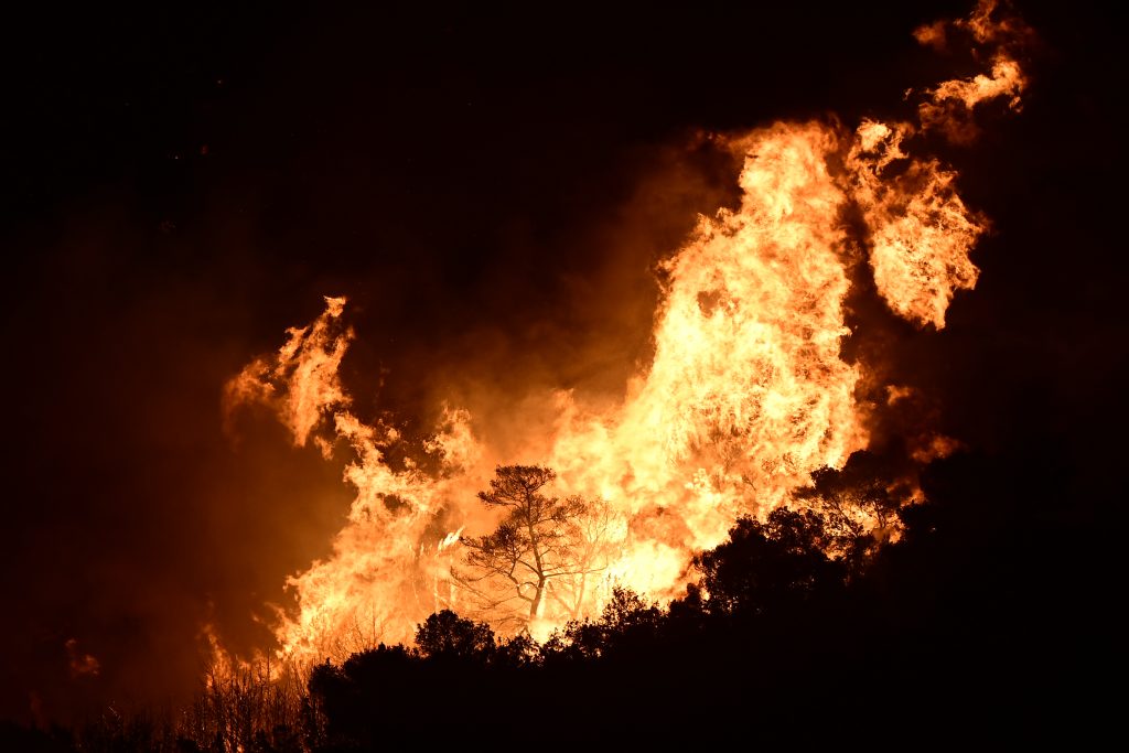
EU Copernicus service activated to map Skyros wildfire burn scars
Translated from Greek, summarized and contextualized by DistantNews.
At a glance
News
Official statement
Outcome reported
- The European Union's Copernicus service has been activated to map burnt areas following a wildfire on the island of Skyros.
- The activation, requested by the General Secretariat for Civil Protection, aims to provide mapping products and data to aid emergency response efforts.
- The data, derived from satellite imagery analysis, will be made available to all involved agencies free of charge.
The European Union's Copernicus service has been activated to map the areas affected by a recent wildfire on the Greek island of Skyros. The General Secretariat for Civil Protection requested the service's intervention, following instructions from the Secretary General of Civil Protection, Nikos Papageorgiou.
The activation's purpose is to generate mapping products and data for the affected regions within the Municipality of Skyros, located in the Regional Unit of Euboea, Central Greece. These resources are intended to support the efforts of agencies involved in emergency response and the management of the wildfire's consequences, which began on Saturday, August 15, 2026.
The European Union has accepted the request, and a series of cartographic data and products, derived from satellite image analysis, are expected to be made available promptly. The data and maps from the Copernicus Emergency Management Service/Mapping will be distributed free of charge by the Directorate of Planning for Emergency Response to all relevant agencies to assist in their work.
DistantNews Editorial
Originally published by Ta Nea in Greek. Translated, summarized, and contextualized by our editorial team with added local perspective. Read our editorial standards.
More Stories


From Our Blog

What Gets Lost (and Found) When News Is Translated

The Critical Role of Diaspora Media in Global News

What Travellers Should Know About Countries with Restricted Press

A Digital Nomad's Guide to Following Local News

How the Same Story Looks Different in Different Countries
