



Montevideo’s “biggest project in 100 years” goes beyond transport, with expropriations and new land values expected
Translated from Spanish and summarized by DistantNews. Read the original for the full story.
At a glance
News
Named sources
Ongoing story
- Montevideo’s planned metropolitan transport reform could involve municipal expropriations and alter land values along new bus rapid transit corridors.
- The conceptual plan includes bi-articulated buses carrying more than 200 passengers on two exclusive-lane routes to Ciudad Vieja.
- Officials are developing planning tools, including 3D corridor models and an expanded Land Value Observatory.
Montevideo’s planned transport overhaul could change far more than the way passengers move through the capital. City officials say the project may require expropriations and could reshape land values along the routes used by the new buses.
It will surely be the largest project Montevideo and the metropolitan area in general have had in the last 100 years, so its scale goes far beyond transport and mobility.
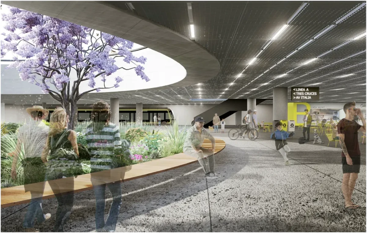
The reform remains at the conceptual design stage, although its broad structure has already been defined. Bi-articulated buses carrying more than 200 passengers would travel in exclusive lanes along two main corridors. One route would connect El Pinar with Ciudad Vieja through Giannattasio, Avenida Italia and 18 de Julio. The other would run from Zonamerica to Ciudad Vieja through Camino Maldonado, 8 de Octubre and 18 de Julio.
Fiorella Contreras, manager of Production, Management and Information Analysis in the city’s Planning Department, described the proposal as potentially the largest project Montevideo and its metropolitan area have seen in a century. She said its scale extends beyond transport and mobility because the system would help structure the wider territory.
This system is a structuring element that evidently affects and structures the entire territory, and we must adapt and integrate it into planning.
The department is also identifying “areas of opportunity” linked to mobility projects, with a target of doing so by 2027. Officials want to create a three-dimensional model of the Avenida Italia, 8 de Octubre and 18 de Julio corridors to better visualize their urban structure and assess possible changes. They also plan to expand the Land Value Observatory across the three corridors.
areas of opportunity
About this summary
Originally published by El País in Spanish. Translated, summarized, and contextualized automatically by DistantNews, with a note on how the source frames the story. Not individually reviewed before publishing. How this works.
More Stories


From Our Blog

What Gets Lost (and Found) When News Is Translated

The Critical Role of Diaspora Media in Global News

What Travellers Should Know About Countries with Restricted Press

A Digital Nomad's Guide to Following Local News

How the Same Story Looks Different in Different Countries
