

Poland Faces Divided Weather: Warm Southeast, Rainy and Stormy North
Translated from Polish, summarized and contextualized by DistantNews.
At a glance
News
Sources not specified
Context piece
- Poland will experience a split weather forecast on Wednesday, with warmer temperatures and clear skies in the southeast, while the north faces rain and thunderstorms.
- Cooler polar maritime air continues to flow from the west, influencing the northern regions with potential storms and heavy rainfall.
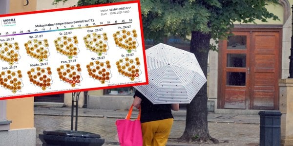
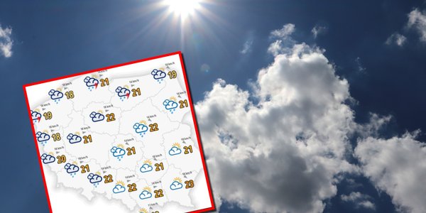
- Temperatures will range from 20-23 degrees Celsius in most areas, dropping to 17-19 degrees in cooler northern and northwestern parts.
Poland's weather on Wednesday will be divided, with the southeastern part of the country expecting improved conditions. Clear skies and temperatures reaching up to 23 degrees Celsius are forecast for this region. However, cooler air from the west will persist, bringing rain and thunderstorms to the northern areas.
The Institute of Meteorology and Water Management reports that low-pressure systems are affecting northern and eastern Europe, while a high-pressure ridge from the Atlantic covers other parts of the continent. Poland will temporarily be under the influence of this Atlantic ridge, but a low-pressure system from southern Sweden will impact the north.
Expect partly cloudy to cloudy skies across Poland on Wednesday, with increasing cloud cover from the northwest. Scattered rain showers are possible, particularly in the north, where rainfall could reach 15-20 mm. Localized thunderstorms are also forecast for the northern regions. Maximum temperatures will generally range from 20 to 23 degrees Celsius, with cooler conditions of 17-19 degrees in the northwest and mountainous areas. Winds will be light to moderate, becoming gusty at times, especially near the coast and during thunderstorms.
DistantNews Editorial
Originally published by Rzeczpospolita in Polish. Translated, summarized, and contextualized by our editorial team with added local perspective. Read our editorial standards.
More Stories


From Our Blog

What Gets Lost (and Found) When News Is Translated

The Critical Role of Diaspora Media in Global News

What Travellers Should Know About Countries with Restricted Press

A Digital Nomad's Guide to Following Local News

How the Same Story Looks Different in Different Countries
