

Satellites will help Asháninka communities detect forest fires as alarm grows
Translated from Spanish and summarized by DistantNews. Read the original for the full story.
At a glance
News
Named sources
New plan
- The Central Asháninka del Río Ene has joined the FireSat Early Adopter Program, becoming the first Peruvian organization to participate.
- FireSat's satellites are designed to detect small forest fires early and provide data on ignition points, fire perimeters, spread and radiative power.
- CARE plans to combine the satellite information with Indigenous knowledge, weather data, field monitoring and community response systems.
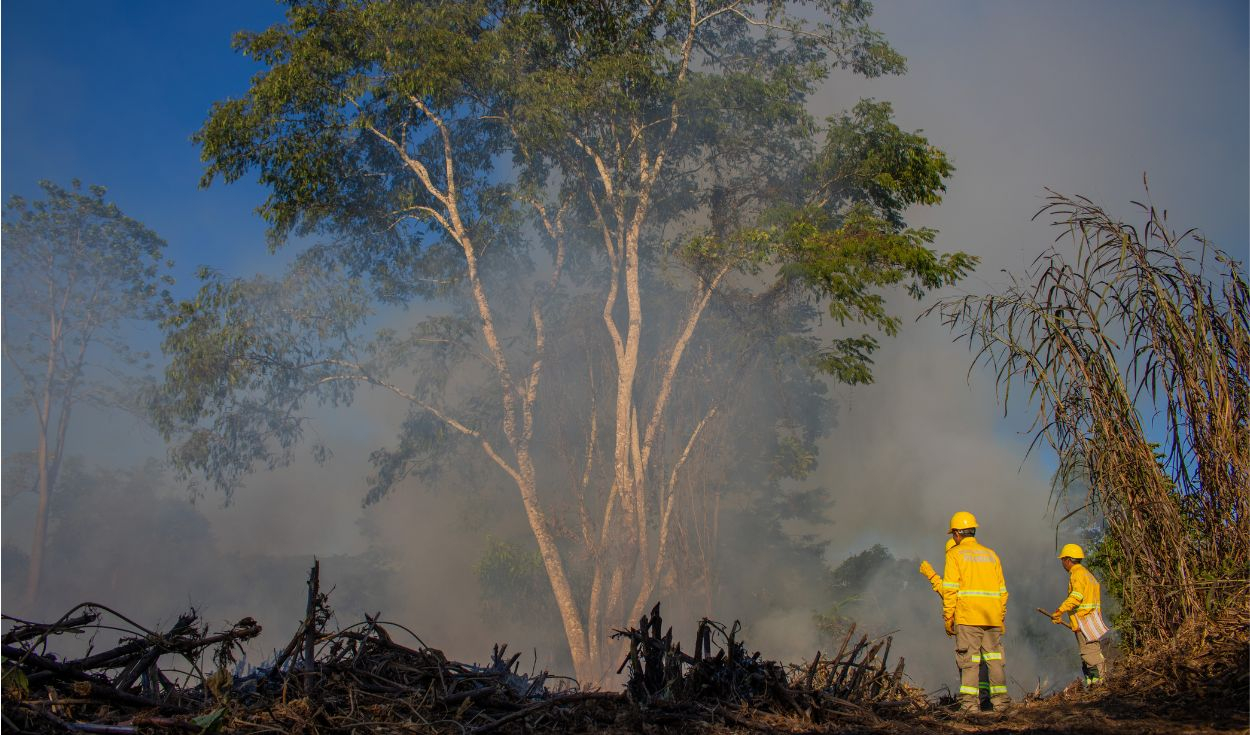
Asháninka communities along Peru's Ene River are preparing to add satellite technology to the way they detect and respond to forest fires. The Central Asháninka del Río Ene, known as CARE, has formally joined the FireSat Early Adopter Program.
The agreement with Earth Fire Alliance, the organization responsible for FireSat, was signed in 2026 by CARE president Ángel Pedro Valerio and Earth Fire Alliance chief executive Brian Collins. CARE is the first Peruvian organization to enter the early-adoption program.
The partnership will allow CARE to access data from a new satellite constellation designed specifically to observe forest fires. The organization and Earth Fire Alliance will exchange knowledge and assess how the information can fit into prevention and response mechanisms already used by communities along the Ene River.
Earth Fire Alliance placed its first three operational FireSat satellites into orbit in July. The system combines higher-detail imagery with several spectral bands to identify fires at an early stage. Its satellites operate at an average resolution of about 80 meters and are designed to detect fires as small as roughly 5 by 5 meters.
The data can show the location of new ignitions, fire perimeters, how fires progress and their fire radiative power, an indicator of the energy released and the behavior of the flames. The constellation is still expanding. Earth Fire Alliance expects to increase the number of satellites and reach update intervals of about one hour or less by 2029, followed later by global intervals of 20 minutes or less.
CARE will gradually incorporate the information into PAAMARI, its strategy for strengthening forest-fire prevention and management in Ene River communities. PAAMARI combines Asháninka knowledge with satellite and weather data, field surveillance, and community communication and response systems. CARE aims to improve fire detection and reduce the time between an alert and a decision.
About this summary
Originally published by La República in Spanish. Translated, summarized, and contextualized automatically by DistantNews, with a note on how the source frames the story. Not individually reviewed before publishing. How this works.
More Stories
From Our Blog

What Gets Lost (and Found) When News Is Translated

The Critical Role of Diaspora Media in Global News

What Travellers Should Know About Countries with Restricted Press

A Digital Nomad's Guide to Following Local News

How the Same Story Looks Different in Different Countries
