


South Korean landslide preparedness questioned as actual disaster zones poorly match designated vulnerable areas
Translated from Korean and summarized by DistantNews. Read the original for the full story.
At a glance
News
Named sources
Context piece
- Record rainfall in South Korea triggered landslides in 196 locations across Geoje and Tongyeong, but only 2% of these sites were designated as vulnerable.
- The current system for designating landslide vulnerable areas, based on factors like past occurrences and terrain, appears ineffective in predicting actual disaster zones.
- Experts suggest improving the accuracy of landslide risk maps and vulnerable area designations by incorporating more factors, including human development activities.
South Korea is facing serious questions about the effectiveness of its landslide preparedness system after recent record rainfall caused widespread devastation.
The current system for designating landslide vulnerable areas, based on factors like past occurrences and terrain, appears ineffective in predicting actual disaster zones.
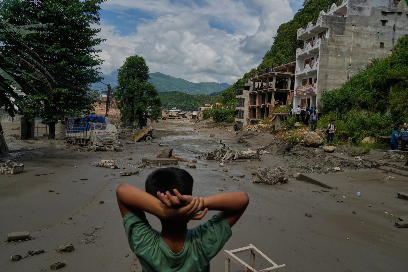
Torrential rains on August 16-17 triggered landslides in 196 locations across the cities of Geoje and Tongyeong. However, a stark reality emerged when comparing these actual disaster sites with areas officially designated as "landslide vulnerable." The analysis revealed a mere 2% overlap, with only a handful of the 196 affected locations being previously identified as high-risk.
The local government officials and the public officials in charge of landslides are doing their best to prevent landslides. However, it is difficult to explain the results of natural phenomena such as landslides that occur despite these efforts.
This low match rate, particularly the complete absence of overlap in Tongyeong, undermines the credibility of the current designation process. This process, governed by the Forest Disaster Prevention Act, involves analyzing factors like past landslide history, terrain, soil depth, and forest conditions to create "landslide risk maps." Local governments then use these maps to designate vulnerable areas based on high-risk probability.
When landslides occur, there is always a trigger. Human development activities, such as the installation of forest roads, are representative examples.
Experts are calling for a more robust approach. Professor Park Jae-hyun of Inje University's Department of Civil and Environmental Engineering suggests that while the heavy rainfall was a trigger, the occurrence of landslides is often influenced by other factors, such as human development activities like road construction. He advocates for incorporating a wider range of considerations into risk assessments and vulnerable area designations to improve their precision. Furthermore, he proposes differentiating management strategies based on the potential for human casualties.
It is necessary to increase the precision of landslide risk maps and vulnerable areas by including more factors to consider, such as development activities, and to manage them by distinguishing them according to the degree of risk of human casualties.
About this summary
Originally published by Hankyoreh in Korean. Translated, summarized, and contextualized automatically by DistantNews, with a note on how the source frames the story. Not individually reviewed before publishing. How this works.
More Stories


From Our Blog

What Gets Lost (and Found) When News Is Translated

The Critical Role of Diaspora Media in Global News

What Travellers Should Know About Countries with Restricted Press

A Digital Nomad's Guide to Following Local News

How the Same Story Looks Different in Different Countries
