


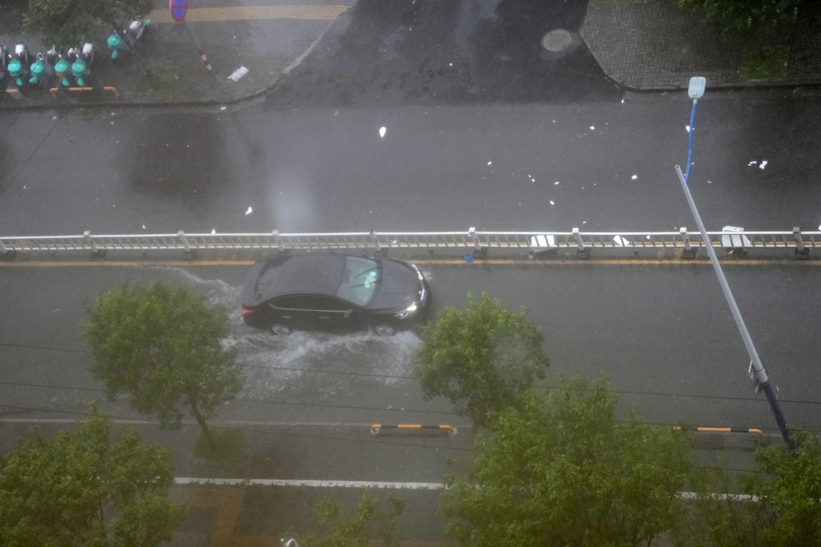
Typhoon Saudel Makes Landfall Twice in China's Zhejiang Province, Bringing Torrential Rain to Nine Regions
Translated from Korean and summarized by DistantNews. Read the original for the full story.
At a glance
News
Sources not specified
Ongoing story
- Typhoon Saudel made landfall twice in China's Zhejiang Province on August 28, bringing strong winds and heavy rainfall.
- The typhoon weakened as it moved inland, but its impact is expected to continue until August 31, affecting nine provincial-level regions.
- This marks the third typhoon to make landfall in the coastal city of Yuyao, Zhejiang, within approximately one month, an unusual occurrence.
Typhoon Saudel made landfall twice in China's Zhejiang Province on the morning of August 28, unleashing strong winds and torrential rain across the region. The storm first hit the coast of Yuhuan City in Taizhou at 8:05 AM local time, with maximum wind speeds near the center reaching 35 meters per second and an atmospheric pressure of 975 hectopascals. It subsequently made a second landfall in Wenzhou City about an hour later.
Typhoon Saudel made landfall twice in China's Zhejiang Province on the morning of the 28th.
While the China Central Meteorological Observatory downgraded the typhoon's alert from red to yellow by 10 AM, Saudel was expected to weaken as it moved further inland. However, the extensive range and duration of the strong winds and heavy rainfall mean that precipitation is forecast to continue until August 31. The typhoon's impact is projected to affect nine provincial-level regions, including Zhejiang, Fujian, Jiangxi, Hunan, Hubei, Guangdong, Guangxi, Guizhou, and Yunnan.
The China Central Meteorological Observatory downgraded the typhoon's red alert to yellow at 10 AM.
Zhejiang and Fujian provinces are expected to bear the brunt of the rainfall, with some areas potentially experiencing extreme downpours. Forecasters predict localized rainfall of 250-280 millimeters in southeastern Zhejiang, northern Fujian, and parts of southwestern and southern Sichuan Basin. Some areas could see hourly rainfall exceeding 80 millimeters.
The impact range and duration of strong winds and heavy rain are wide and long, and the rain is expected to continue until the 31st.
In response to the severe weather conditions, Chinese authorities activated a Level 2 emergency response system for meteorological disasters. The typhoon has also caused temporary disruptions to train services on several high-speed rail lines connecting cities within Zhejiang Province. Notably, Yuhuan, a coastal city in Zhejiang that hosts a major Chinese naval base, has experienced three typhoon landfalls in just over a month, following typhoons Babbi and Dolphin in previous months. This series of consecutive landfalls in the same area is considered highly unusual.
This is the third typhoon to make landfall in Yuhuan, Zhejiang, in about a month, which is considered unusual.
About this summary
Originally published by Dong-A Ilbo in Korean. Translated, summarized, and contextualized automatically by DistantNews, with a note on how the source frames the story. Not individually reviewed before publishing. How this works.
More Stories



From Our Blog

What Gets Lost (and Found) When News Is Translated

The Critical Role of Diaspora Media in Global News

What Travellers Should Know About Countries with Restricted Press

A Digital Nomad's Guide to Following Local News

How the Same Story Looks Different in Different Countries
