

What’s behind Beijing’s seabed mapping east of Taiwan?
Summarized and contextualized by DistantNews.
At a glance
News
Sources not specified
Outcome reported
- China conducted its first seabed mapping survey east of Taiwan, an area previously lacking complete data.
- Experts suggest this move aims to counter potential military presence by the US, Japan, and the Philippines in the region.
- The survey, part of a broader maritime law enforcement operation, is seen as a strategic step to assert jurisdiction over waters around Taiwan.
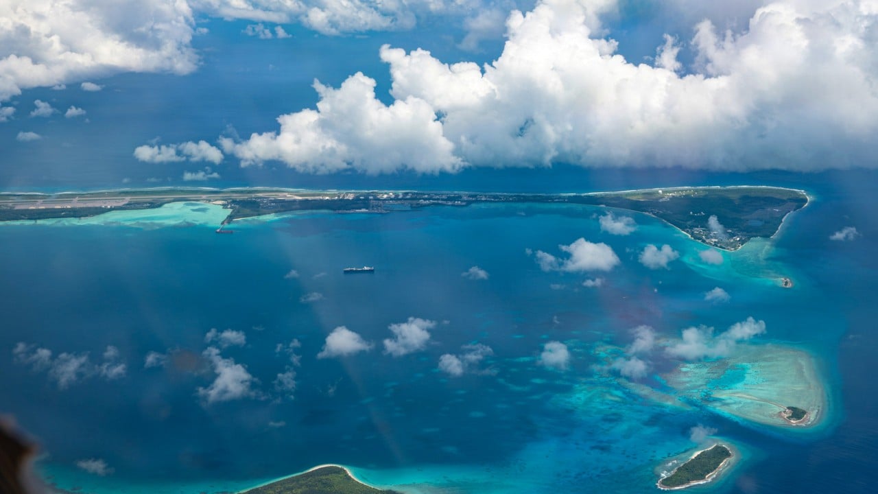
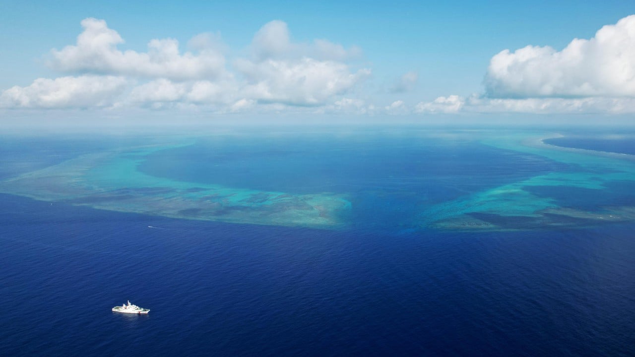
Beijing has conducted its first-ever seabed mapping survey in waters east of Taiwan, an area previously marked by incomplete hydrographic data. The operation, which concluded Wednesday, involved multiple Chinese maritime agencies. Experts interpret this move as a strategic effort to deter potential military activities by the United States, Japan, and the Philippines in the region. Analysts warn that such actions could escalate tensions in the contested waters. The survey is viewed as a significant advancement in China's strategy to assert effective jurisdiction over the maritime domain surrounding Taiwan, a move that has drawn strong protests from Beijing in the past. This development occurs amidst ongoing geopolitical maneuvering and heightened sensitivities regarding military presence and influence in the Indo-Pacific.
It represents a strategic breakthrough in the mainland’s efforts to exercise effective jurisdiction over waters surrounding Taiwan.
DistantNews Editorial
Originally published by South China Morning Post. Summarized and contextualized by our editorial team with added local perspective. Read our editorial standards.
More Stories

From Our Blog

Countries Without a Free Press: What You Need to Know

What Press Freedom Means for the News You Read

What Gets Lost (and Found) When News Is Translated

The Critical Role of Diaspora Media in Global News

What Travellers Should Know About Countries with Restricted Press
