

French wildfire smoke traveled over 500 kilometers west, satellite images show
Translated from Greek, summarized and contextualized by DistantNews.
At a glance
News
From a news agency
Context piece
- Smoke from wildfires in western France traveled over 500 kilometers west on July 24, 2026, according to satellite data.
- The European Copernicus program's Sentinel-5P satellite visualized the smoke's movement using the Aerosol Index, which measures absorbing particles in the atmosphere.
- High index values, shown in orange, red, or violet, indicate increased smoke particles, highlighting the plume's extent and path over the ocean.
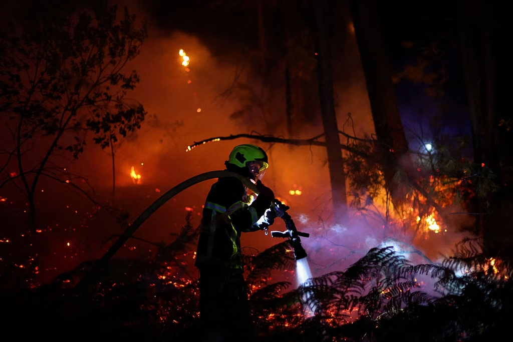
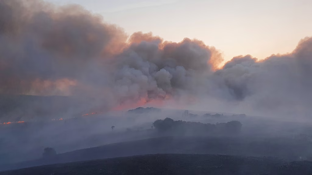
Smoke from wildfires in western France traveled more than 500 kilometers west on July 24, 2026, satellite data revealed. The METEO scientific team at the National Observatory of Athens/meteo.gr used data from the European Copernicus program's Sentinel-5P satellite to visualize the smoke's transport.
They employed the Aerosol Index (AER), a satellite measurement linked to the presence of absorbing particles in the atmosphere. This index is suitable for monitoring dust episodes, volcanic eruptions, and intense wildfires. High AER values, depicted in orange, red, or violet hues, signify a greater concentration of smoke particles in the atmospheric column, effectively illustrating the plume's reach and trajectory over the ocean.
The smoke's path was also documented by the Sentinel-3 satellite, as shown in a high-resolution image. This visual evidence underscores the significant atmospheric impact of the French wildfires, demonstrating how environmental events can have far-reaching consequences across geographical boundaries.
DistantNews Editorial
Originally published by Ta Nea in Greek. Translated, summarized, and contextualized by our editorial team with added local perspective. Read our editorial standards.
More Stories
From Our Blog

What Gets Lost (and Found) When News Is Translated

The Critical Role of Diaspora Media in Global News

What Travellers Should Know About Countries with Restricted Press

A Digital Nomad's Guide to Following Local News

How the Same Story Looks Different in Different Countries
