


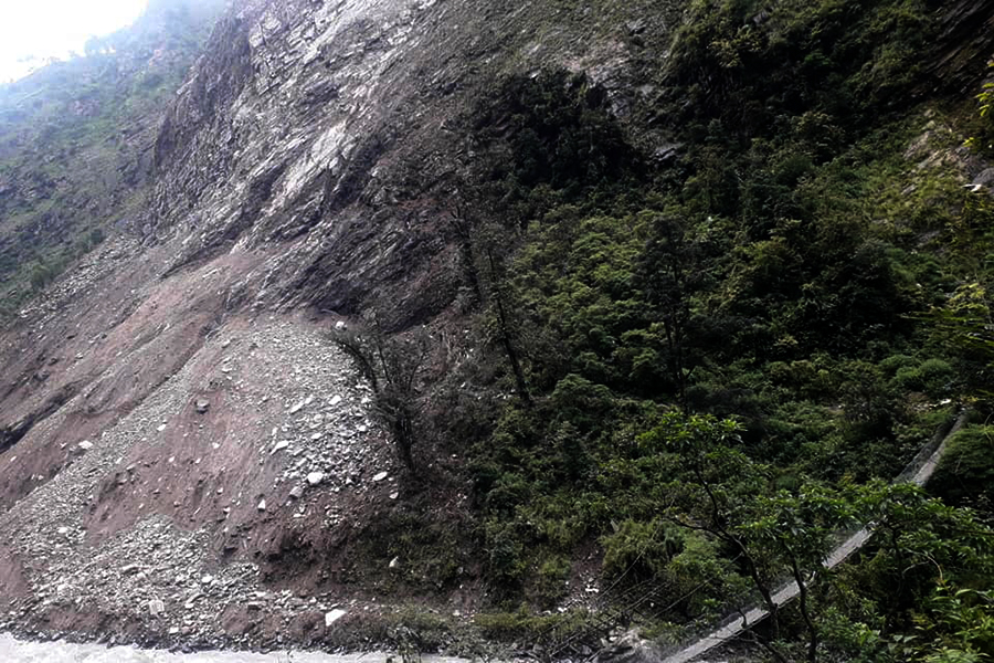
Gorkha landslide confirmed, river blockage rumours denied
Summarized by DistantNews. Read the original for the full story.
At a glance
News
Named sources
Ongoing story
- Authorities confirmed a landslide in the Chekampar area of Gorkha but said the Kaligandaki River was not blocked.
- Officials said the landslide temporarily blocked the Syar Khola, a tributary of the Budhigandaki River, before the water began flowing again.
A landslide occurred in the Chum area of Gorkha, but officials have denied social media claims that it blocked the Kaligandaki River.
Assistant Chief District Officer Netra Prasad Sharma said the landslide took place in Chekampar, within Chumnubri Rural Municipality, at an elevation of about 3,500 metres. “There was a landslide, but the rumour about the river being blocked isn’t true,” Sharma said. The district administration is collecting further information.
Chumnubri Rural Municipality Chairperson Nima Lama gave a more detailed account, saying the landslide had temporarily blocked the Syar Khola at Chaurikharka in Chekampar. The tributary has since begun flowing again. Rumours had claimed that a major landslide beyond Chekampar’s Chaurikharka blocked the Budhigandaki River, which flows from Chum.
There was a landslide, but the rumour about the river being blocked isn’t true.
About this summary
Originally published by OnlineKhabar English. Summarized and contextualized automatically by DistantNews, with a note on how the source frames the story. Not individually reviewed before publishing. How this works.
More Stories

From Our Blog

What Gets Lost (and Found) When News Is Translated

The Critical Role of Diaspora Media in Global News

What Travellers Should Know About Countries with Restricted Press

A Digital Nomad's Guide to Following Local News

How the Same Story Looks Different in Different Countries
