

Peru's Coastline Has High Risk of Major Earthquakes, Geophysics Institute Warns
Translated from Spanish and summarized by DistantNews. Read the original for the full story.
At a glance
News
Named sources
Context piece
- Peru's Geophysical Institute (IGP) identified three coastal zones at high risk of generating earthquakes of magnitude 8.0 or greater.
- One area off the central coast has the potential for a magnitude 8.8 earthquake, while others near Nazca, Chala, Moquegua, and Tacna could reach magnitude 8.0.
- The IGP emphasized that while seismic energy accumulation can be identified, predicting the exact time, date, or location of an earthquake is currently impossible.
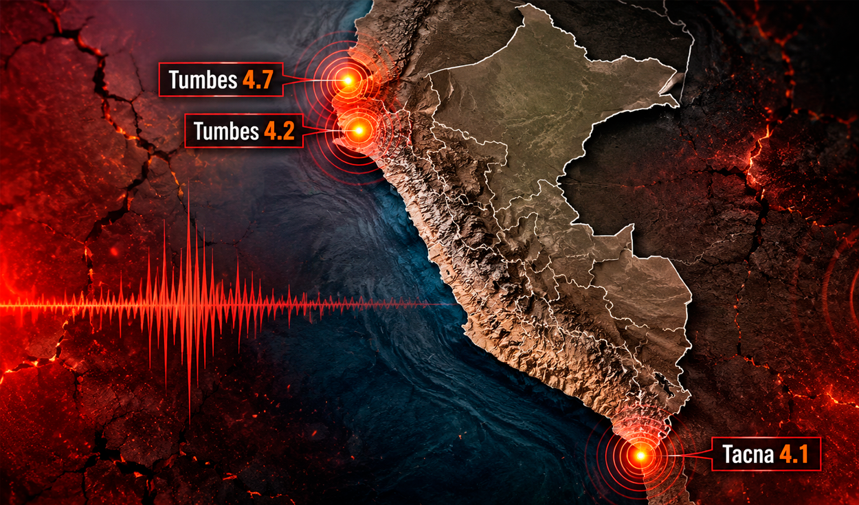
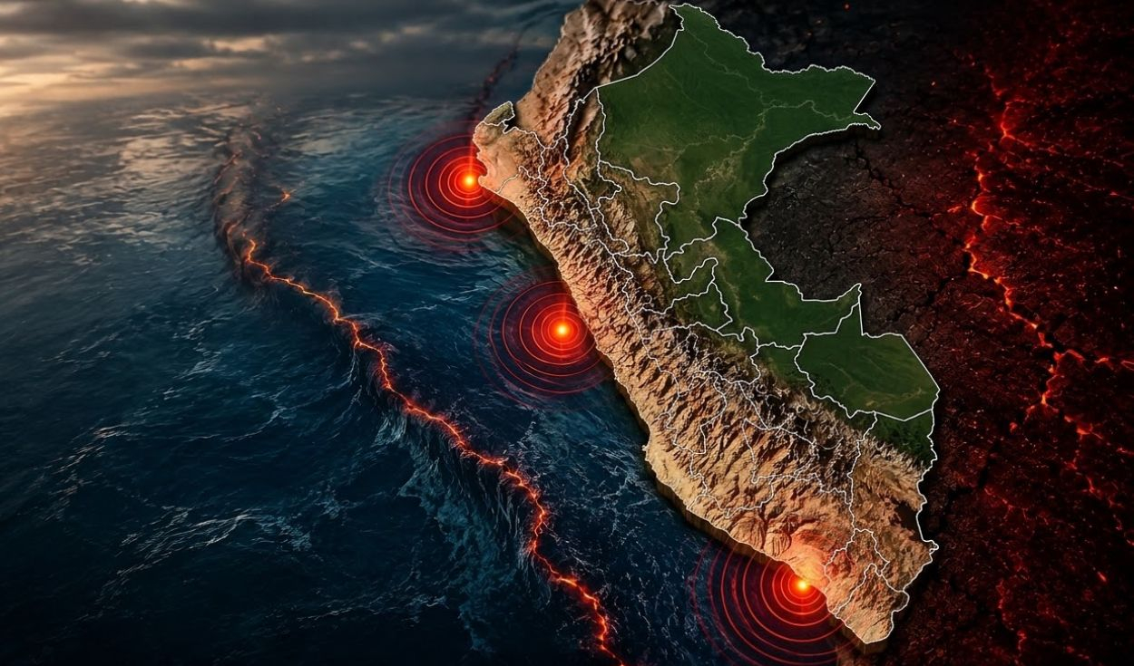
Peru's Geophysical Institute (IGP) has identified critical seismic risk zones along its coastline, warning of the potential for major earthquakes. Due to its location on the Pacific Ring of Fire, Peru faces a high exposure to seismic activity. The IGP's research highlights three specific sectors of the Peruvian coast with the capacity to generate earthquakes of magnitude 8.0 or higher.
One particularly concerning area is off the central coast, where studies suggest a potential for an earthquake reaching a magnitude of up to 8.8. Other identified zones include the areas off Nazca and Chala, and off Moquegua and Tacna, both estimated to have the potential for earthquakes around magnitude 8.0. The IGP also noted research, conducted jointly with Chilean scientists, indicating a potential for an earthquake exceeding magnitude 9 north of Chile, which could impact southern Peru.
Hernando Tavera, head of the IGP, presented these findings during a workshop on earthquake and tsunami preparedness. He stressed that identifying areas with accumulated seismic energy does not equate to predicting the precise timing, date, or location of a future earthquake. "Currently, it is impossible to determine with precision the date, time, and place" of a major seismic event, Tavera stated.
The seismic potential in these zones stems from the subduction process where the Nazca tectonic plate moves eastward beneath the South American plate at an estimated rate of 6 to 7 centimeters per year. This geological interaction causes energy to build up in the contact area, which, when released, can trigger earthquakes. Tavera clarified that seismic events occurring globally or regionally do not necessarily indicate a direct relationship or predict imminent large-scale earthquakes in Peru.
Currently, it is impossible to determine with precision the date, time, and place
About this summary
Originally published by La República in Spanish. Translated, summarized, and contextualized automatically by DistantNews, with a note on how the source frames the story. Not individually reviewed before publishing. How this works.
More Stories


From Our Blog

What Gets Lost (and Found) When News Is Translated

The Critical Role of Diaspora Media in Global News

What Travellers Should Know About Countries with Restricted Press

A Digital Nomad's Guide to Following Local News

How the Same Story Looks Different in Different Countries
