

Peru's Space Agency Deploys Satellite to Monitor Nepal Floods
Translated from Spanish and summarized by DistantNews. Read the original for the full story.
At a glance
News
Sources not specified
Outcome reported
- Peru's Space Agency (CONIDA) is providing satellite imagery from PeruSAT-1 to aid in assessing damage from severe floods in Nepal.
- The data is being shared through the International Charter 'Space and Major Disasters' to support response and recovery efforts.
- Peru officially joined the charter in June 2026, enabling its satellite capabilities to be used for international disaster relief.
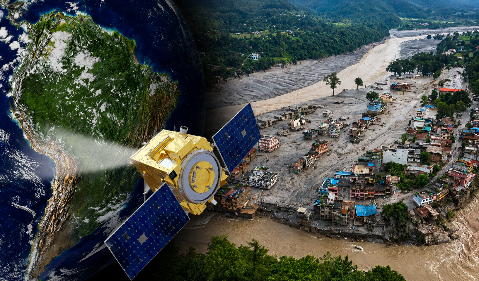
The Peruvian Space Agency (CONIDA) has mobilized its PeruSAT-1 satellite to contribute vital imagery for monitoring the devastating floods in Nepal. This deployment allows for the assessment of affected areas and provides crucial data to support international response and recovery operations.
Peru's participation is part of the International Charter 'Space and Major Disasters,' a collaborative initiative that pools space agencies' capabilities to provide Earth observation data during emergencies. CONIDA officially became a signatory to this charter in June 2026, marking a significant step in Peru's commitment to global disaster relief efforts.
The satellite imagery captured by PeruSAT-1 enables a clearer understanding of the extent of the damage caused by the floods. This information is invaluable for authorities and organizations coordinating immediate relief and long-term reconstruction in the impacted regions. The data helps in identifying damaged sectors and assessing the overall scale of the emergency, particularly in areas where updated territorial information is critical.
CONIDA has expressed solidarity with the people of Nepal and reaffirmed its dedication to international cooperation in addressing natural disasters. The agency's contribution underscores the growing role of satellite technology in providing timely and accurate information for effective disaster management worldwide.
About this summary
Originally published by La República in Spanish. Translated, summarized, and contextualized automatically by DistantNews, with a note on how the source frames the story. Not individually reviewed before publishing. How this works.
More Stories
From Our Blog

What Gets Lost (and Found) When News Is Translated

The Critical Role of Diaspora Media in Global News

What Travellers Should Know About Countries with Restricted Press

A Digital Nomad's Guide to Following Local News

How the Same Story Looks Different in Different Countries
