
South Korea to Use Satellites for Smart Rural Management
Translated from Korean, summarized and contextualized by DistantNews.
TLDR
- South Korea's Korea Rural Community Corporation and Rural Development Administration partnered to utilize satellite imagery for managing agricultural infrastructure.
- The collaboration aims to enhance climate crisis resilience and proactively prevent agricultural disasters like droughts and floods.
- This initiative is expected to accelerate the digital transformation of agricultural water management and realize data-driven administration.
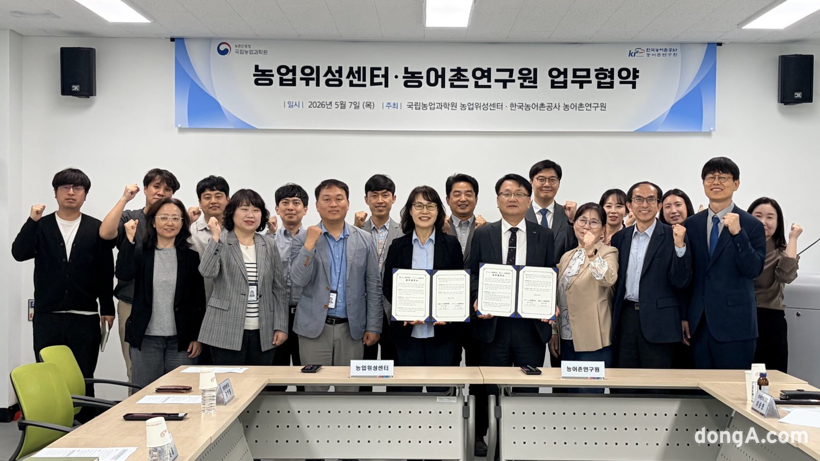
In an era where climate change increasingly threatens our food security, the Korea Rural Community Corporation and the Rural Development Administration are taking a significant leap forward. Our partnership, formalized on the 7th, marks a crucial step in leveraging the power of the upcoming 'Nongnim Satellite' (the 4th next-generation medium satellite) to safeguard our vital agricultural infrastructure.
This isn't just about monitoring; it's about proactive prevention. With the rising frequency of extreme weather events like droughts and floods, ensuring the stability of our farmlands and water resources is paramount. By integrating the satellite's high-resolution imagery with our existing data and expertise, we can achieve unprecedented precision in managing reservoirs, drainage systems, and water supply.
In the current era where meteorological disasters have become a daily threat, the Nongnim Satellite will be a key piece of equipment to resolve blind spots in facility management.
This collaboration represents a fusion of cutting-edge technology and deep-rooted agricultural knowledge. The Rural Development Administration's expertise in crop and terrain monitoring, combined with our decades of experience in water resource management, will create a robust, data-driven disaster prevention system. This is how we build a smarter, more resilient rural landscape for the future, ensuring the sustainability of Korean agriculture against the backdrop of global environmental challenges.
We will establish a three-dimensional disaster prevention system based on statistics and figures by combining the corporation's water resource expertise and the Rural Development Administration's image processing technology.
DistantNews Editorial
Originally published by Dong-A Ilbo in Korean. Translated, summarized, and contextualized by our editorial team with added local perspective. Read our editorial standards.
More Stories


From Our Blog

What Gets Lost (and Found) When News Is Translated

The Critical Role of Diaspora Media in Global News

What Travellers Should Know About Countries with Restricted Press

A Digital Nomad's Guide to Following Local News

How the Same Story Looks Different in Different Countries
