


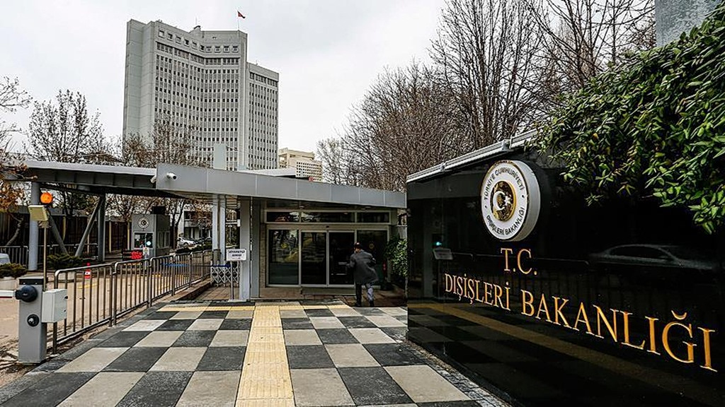
Turkey Declares Greek Maritime Maps 'Invalid,' Citing Jurisdiction Violations
Translated from Greek, summarized and contextualized by DistantNews.
TLDR
- Turkey's Foreign Ministry declared Greek maps depicting maritime borders in the Aegean Sea invalid.
- Ankara claims these maps violate Turkish maritime jurisdiction and international law.
- Turkey insists on a resolution based on international law, equality, and good neighborliness.
Ankara has issued a strong rebuke against Greece, denouncing maps that delineate maritime borders in the Aegean and Eastern Mediterranean as "invalid." The Turkish Ministry of Foreign Affairs asserts that these maps create "imaginary maritime borders" and infringe upon Turkey's sovereign rights and jurisdiction.
They are invalid, the maps that draw imaginary maritime borders between Turkey and Greece in the Aegean and Mediterranean, where there are no real borders and which violate Turkish maritime jurisdiction.
The Turkish Foreign Ministry's statement specifically targets content published by the Greek Directorate of Fisheries Inspection, which reportedly includes maps showing areas where Greece has imposed fishing bans. Ankara argues that these restricted zones extend beyond Greece's legally recognized six nautical miles of territorial waters and into areas where Greece lacks jurisdiction, including international waters.
Turkey maintains that such unilateral actions are contrary to international law and historical rights. The ministry emphasized that Turkey will not accept any measures that negatively impact the legitimate activities of Turkish fishermen. This stance underscores Turkey's commitment to protecting its maritime interests and those of its citizens.
The illegal restrictions imposed by Greece on fishing activities beyond its territorial waters of 6 nautical miles, in areas where it has no jurisdiction and in international waters, are also invalid for Turkey.
From a Turkish perspective, this incident is another manifestation of the ongoing disputes over maritime boundaries and resource rights in the Aegean and Eastern Mediterranean. While Greece frames these as routine fishing regulations within its territorial waters, Turkey views them as part of a broader pattern of Greek attempts to unilaterally expand its maritime claims. The Turkish MFA's reference to the Athens Declaration on Friendly Relations and Good Neighborliness of December 7, 2023, suggests a desire to resolve these issues through dialogue and adherence to international legal principles, but only on terms that respect Turkey's established rights and historical presence in the region. The framing of Greek maps as 'imaginary' and 'invalid' reflects a nationalist and assertive tone, common in Turkish discourse when discussing territorial integrity and maritime claims.
Turkey will not accept any unilateral and illegal action that may be taken against the lawful activities of Turkish fishermen, which are based on international law and historical rights.
DistantNews Editorial
Originally published by Ta Nea in Greek. Translated, summarized, and contextualized by our editorial team with added local perspective. Read our editorial standards.
More Stories


From Our Blog

What Gets Lost (and Found) When News Is Translated

The Critical Role of Diaspora Media in Global News

What Travellers Should Know About Countries with Restricted Press

A Digital Nomad's Guide to Following Local News

How the Same Story Looks Different in Different Countries
