


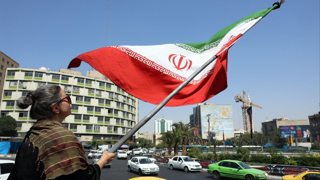
Chinese satellite analysis questions US, Iran conflict damage claims
Translated from English, summarized and contextualized by DistantNews.
At a glance
News
Named sources
Context piece
- Chinese scientists used satellite imagery analysis to challenge claims from both the US and Iran regarding the scale of damage from recent conflict.
- Their findings suggest physical impacts exceeded US characterizations of 'minimal damage' and Iranian claims of 'massive strikes.'
- The analysis also revealed vulnerabilities in fixed military installations and operational shortcomings on both sides.
Chinese scientists have employed advanced satellite imagery analysis to scrutinize damage to US military bases in the Middle East, identifying discrepancies in the official accounts provided by both Washington and Tehran. The research, conducted by the Chinese Academy of Sciences (CAS), utilized sophisticated remote sensing and image-processing techniques.
The findings suggest that the actual physical impacts of the conflict were more significant than the 'minimal damage' described in US briefings and simultaneously indicated that Iran's assertions of 'massive strikes' might be exaggerated. The CAS researchers noted that the observed destruction patterns exposed vulnerabilities in static overseas military installations and highlighted operational shortcomings evident on both sides of the conflict.
The observed scale of destruction indicates physical impacts that exceed the characterisations of ‘minimal damage’ or ‘successful defence’ commonly presented in US briefings.
Published in the peer-reviewed journal The Innovation on July 7, the scientists' letter stated, “The observed scale of destruction indicates physical impacts that exceed the characterisations of ‘minimal damage’ or ‘successful defence’ commonly presented in US briefings.” They added, “Concurrently, it also suggests that Iranian claims of ‘massive strikes’ may be overstated.”
This independent analysis comes after the US implemented "shutter control" measures on several commercial satellite providers, including Planet Labs, on April 4. These actions suspended the distribution of high-resolution space imagery over conflict zones, potentially limiting external observation of the events.
Concurrently, it also suggests that Iranian claims of ‘massive strikes’ may be overstated.
DistantNews Editorial
Originally published by South China Morning Post in English. Translated, summarized, and contextualized by our editorial team with added local perspective. Read our editorial standards.
More Stories


From Our Blog

Countries Without a Free Press: What You Need to Know

What Press Freedom Means for the News You Read

What Gets Lost (and Found) When News Is Translated

The Critical Role of Diaspora Media in Global News

What Travellers Should Know About Countries with Restricted Press
