Severe Storms and Tornado Watch Issued for Parts of the U.S.
Translated from Spanish, summarized and contextualized by DistantNews.
TLDR
- Severe weather, including thunderstorms and potential tornadoes, is forecast for parts of the United States this weekend.
- The National Weather Service and Storm Prediction Center have issued alerts for areas including Kansas, Oklahoma, and Texas.
- Risks include large hail, damaging winds, and excessive rainfall, with a slight risk of severe storms in some regions.
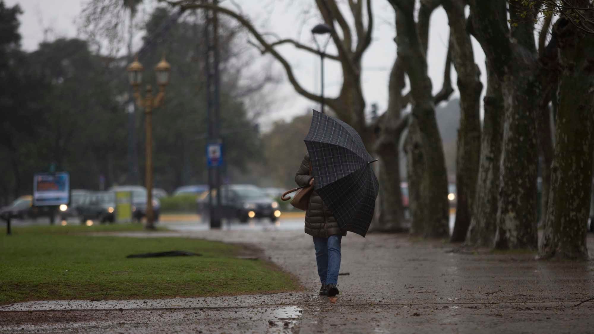
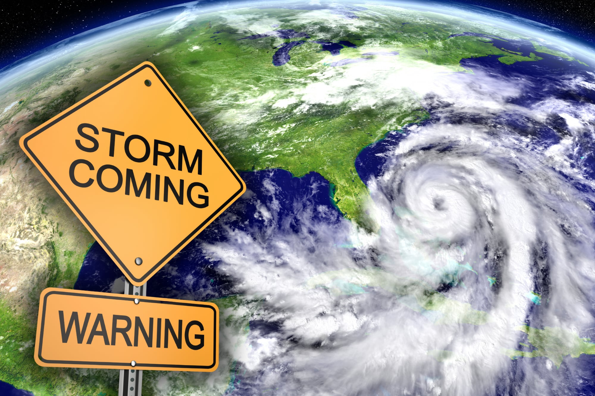
Residents across Florida and Texas are bracing for severe weather this weekend, as a potent mix of cold fronts, humid air, and atmospheric instability is set to sweep through the United States. The National Weather Service (NWS) has warned of persistent rain, severe thunderstorms, and the potential for dangerous phenomena, particularly in the southern and central regions of the country.
The SPC detailed that the first storms will begin to develop during the early afternoon hours over parts of northern and central Missouri, then expand southwestward, reaching parts of southeastern Kansas and northern Oklahoma during the afternoon and evening.
The Storm Prediction Center (SPC) has identified a level two out of five risk for severe storms, stretching from southeastern Kansas through central and eastern Oklahoma and into northern Texas. Meteorologists anticipate that scattered storms could develop on Friday afternoon and evening, capable of producing large hail and damaging wind gusts. Some of these storm cells might even develop supercellular characteristics, potentially leading to hail up to two inches in diameter.
Meteorologists warned that some storm cells could acquire supercellular characteristics, which would initially favor the fall of hail up to two inches (five centimeters) in diameter.
While the tornado threat is considered limited in many areas due to less favorable atmospheric conditions, isolated tornadoes cannot be ruled out, especially in northeastern Oklahoma and southeastern Kansas as night falls. The NWS also highlighted a risk of excessive rainfall in the lower Mississippi Valley, where a stationary front near the Gulf Coast could lead to significant accumulations of water in short periods, increasing the likelihood of urban flooding and localized flash floods.
Although the tornado potential will be limited in much of the region due to less favorable conditions in the lower levels of the atmosphere, the formation of some isolated phenomena cannot be ruled out, especially over northeastern Oklahoma and southeastern Kansas towards dusk.
DistantNews Editorial
Originally published by La Nación in Spanish. Translated, summarized, and contextualized by our editorial team with added local perspective. Read our editorial standards.
More Stories


From Our Blog

What Gets Lost (and Found) When News Is Translated

The Critical Role of Diaspora Media in Global News

What Travellers Should Know About Countries with Restricted Press

A Digital Nomad's Guide to Following Local News

How the Same Story Looks Different in Different Countries
