

Trough and Tropical Wave to Bring Rain to Dominican Republic
Translated from Spanish, summarized and contextualized by DistantNews.
At a glance
News
Named sources
Context piece
- The Dominican Republic is expected to experience heavy rainfall, thunderstorms, and strong winds due to a trough and a tropical wave.
- Isolated showers are forecast for the morning, with more intense downpours and electrical activity expected in the afternoon and evening across several provinces.
- Meteorologists are monitoring two areas with cyclonic potential near Cape Verde and the Atlantic, though their immediate threat to the DR is low.
The Dominican Republic's weather forecast indicates a shift towards more active conditions, with a trough to the northwest and a tropical wave passing over Puerto Rico expected to increase atmospheric moisture. Despite these systems, the general environment will remain hot.
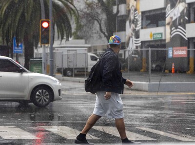
Isolated showers are anticipated during the morning hours, primarily affecting eastern parts of the country. However, the afternoon and evening are predicted to bring significant cloud cover accompanied by heavy downpours, thunderstorms, and gusty winds. These conditions are expected across numerous provinces, including La Altagracia, La Romana, El Seibo, Hato Mayor, San Pedro de Macorís, Monte Plata, Samaná, Sánchez Ramírez, San Cristóbal, Peravia, San José de Ocoa, Monseñor Nouel, La Vega, Azua, San Juan, Elías Piña, Independencia, Baoruco, and the Greater Santo Domingo area.
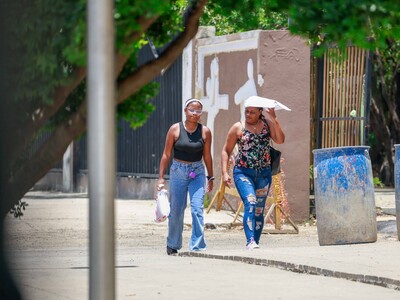
Temperatures will remain high, with lows between 23°C and 25°C and highs ranging from 33°C to 35°C. The Dominican Institute of Meteorology (Indomet) advises residents to stay hydrated, avoid prolonged sun exposure between 11 a.m. and 4 p.m., wear light clothing, and seek cool, ventilated spaces. Special attention should be given to vulnerable groups like children, pregnant women, the elderly, and those with existing health conditions.
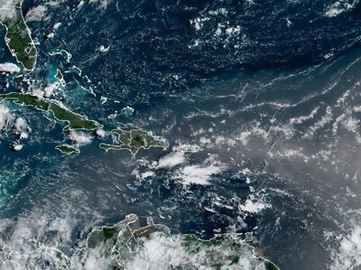
Indomet is also closely monitoring two areas with potential cyclonic development. One is a low-pressure system near the Cape Verde islands, and the second is a tropical wave midway between Africa and the Lesser Antilles. While both currently have a low probability (around 30% and 10%, respectively) of becoming tropical cyclones within 48 hours, the first system's development probability increases to 70% over the next seven days. A third trough north of the Bahamas is also under observation but poses no threat to the Dominican Republic.
DistantNews Editorial
Originally published by Diario Libre in Spanish. Translated, summarized, and contextualized by our editorial team with added local perspective. Read our editorial standards.
More Stories
From Our Blog

What Gets Lost (and Found) When News Is Translated

The Critical Role of Diaspora Media in Global News

What Travellers Should Know About Countries with Restricted Press

A Digital Nomad's Guide to Following Local News

How the Same Story Looks Different in Different Countries
